Adventure/touring/gravel bikes are great, aren’t they? They allow you to get out on the road and almost hang with the best road bikes out there. They also let you depart from said road and nearly …
I recently modified a mountain bike that came with a 2×11 drivetrain. It was nice, but I wanted a wider gear range. The result was a 10/42T 11 speed cassette paired with a 40/24T 2x …
It is time for another not-very-pretty blog about bike equipment. I made a tank that I think can seat just about any bead lock bike tire. This is an over-the-top tool but I had to …
The part of Northern California that I was traveling through was full of Bigfoot references. Statues of Bigfoot, murals, and advertisements featuring the beast dotted the area. Whether locals believed or were amused didn’t matter. …
Shoe stretchers are hardly anything new. But I have never heard of anyone using them on bike shoes. I thought it might help the fit of some of my shoes. I tried it and I had …
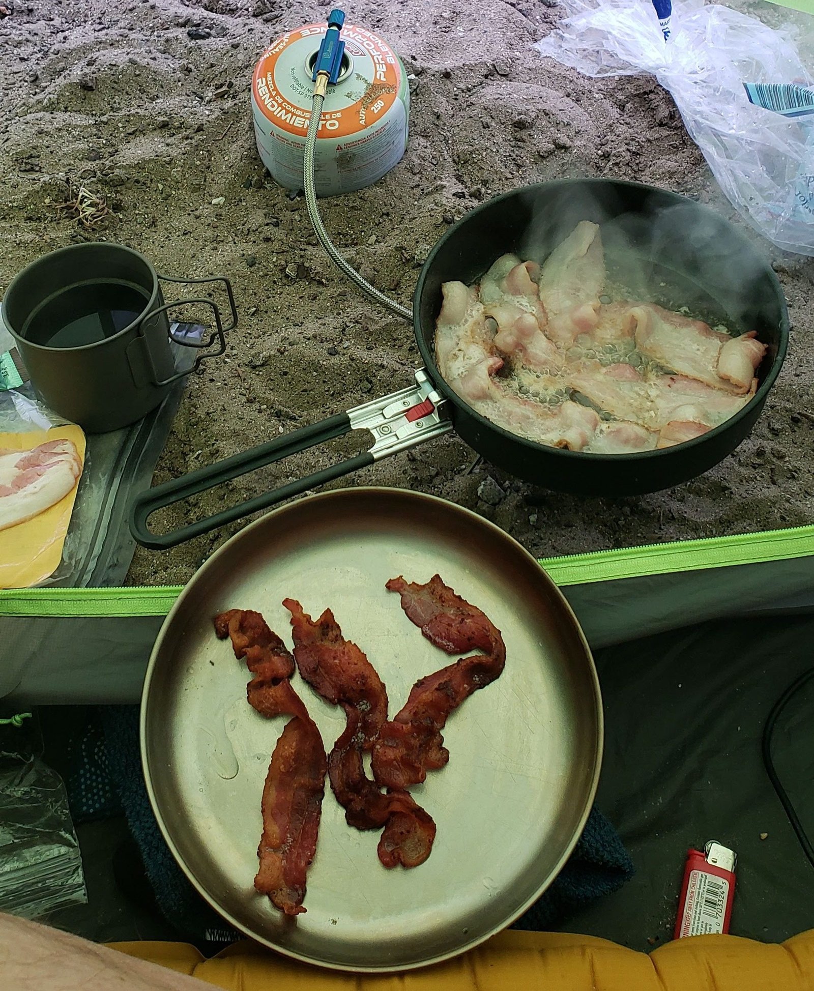
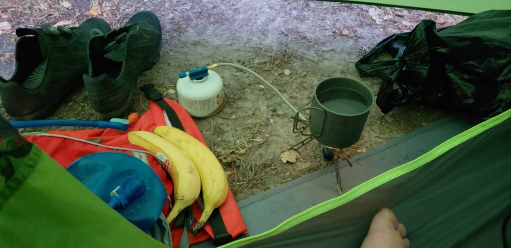
Day 5 of my 8-day tour would be a long ride through a wide variety of California terrain, but it started with me fixing my kitchen. Quick backstory: I thought my fuel canister was empty after very little use, so I pitched it and bought a new one. I was pretty excited to cook bacon for breakfast, so I set up the stove with a new, full canister. But to my dismay, I still got no flame. Not much could go wrong with my simple little titanium camping stove. After turning it on and off a few times, I blew air through the small tube that goes from the canister to the stove. That fixed it. The canister that I threw away probably still had a lot of fuel left. More on my stove when I review it in a separate blog, but I was able to forgive it, and I still give it a thumbs up.
The bacon cooked up fine once I got my stove working again.
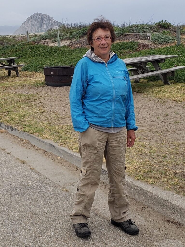
As I was breaking camp, I met Colette, who was car camping next to me. And by car camping, I mean sleeping in her Honda Civic. She was a wonderful woman with a heavy French accent, even after living in the USA for 45 years. She adventured a lot and often alone.
She shared a great story with me: she had a daughter who never called (nope, I have never heard that one before). One of the few times she did call was while Colette was out adventuring. Colette came home to find police all around her property, investigating the missing persons report her daughter had filed on Colette when she couldn’t reach her mother. Her daughter had panicked and presumed the worst. It only showed how little she knew about how her mother lived. I wasn’t sure whether the story was a comedy or a tragedy, but Colette told it well.
And before I could ask her, Colette said she thought it was silly that women were so afraid of travel and adventuring alone. She had done it all her life and had only one incident where she thought someone was following her, but she wasn’t sure, and nothing came of it.
Colette was a seasoned adventurer and a great storyteller.
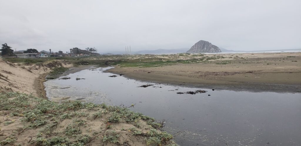
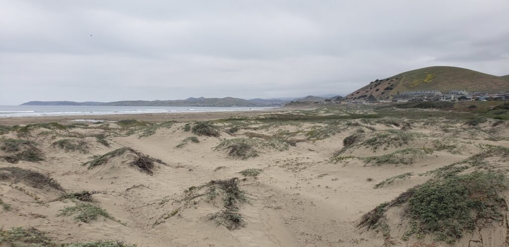
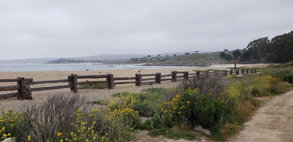
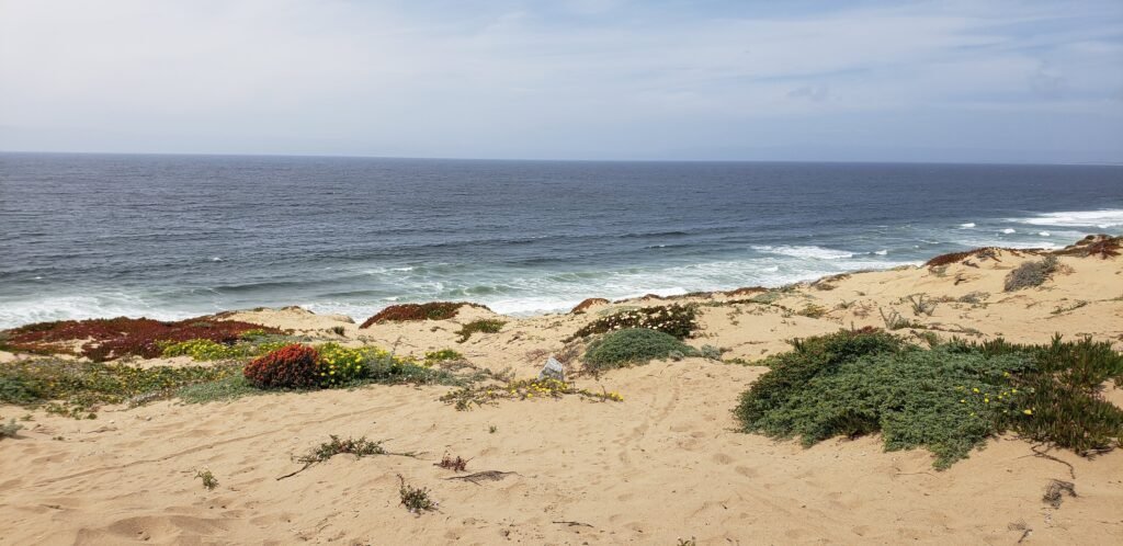
I finished packing and took some time to explore the beach where I was camping. It was a mix of sandy bluffs, rugged ground cover, and shifting wetlands. It was very photogenic under the morning clouds. I returned to my bike, brushed off the sand, and started my ride on the dedicated bike trails around Morro Bay.
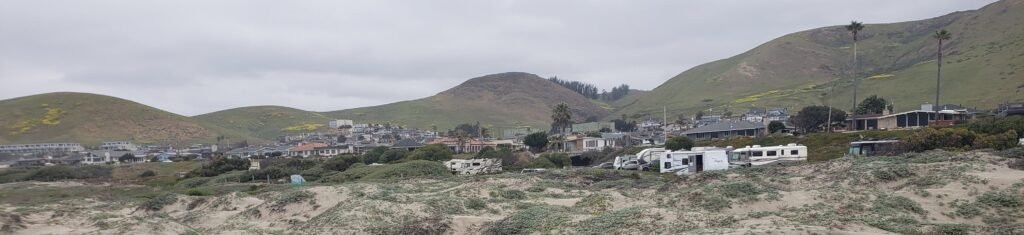
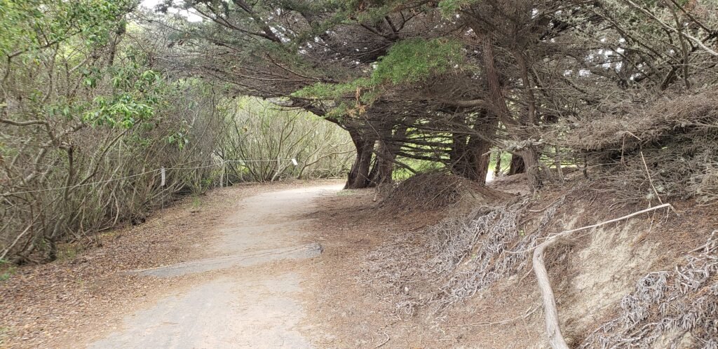
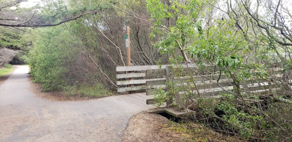
The beach that I was camping on was a complex, beautiful dune ecosystemA view back where I had ridden the day before.My home for a day: RVs and the neighborhood that overlooked the campground and beach.A tree-covered trail through Morro Bay.There was a fairly extensive network of trails in the area.
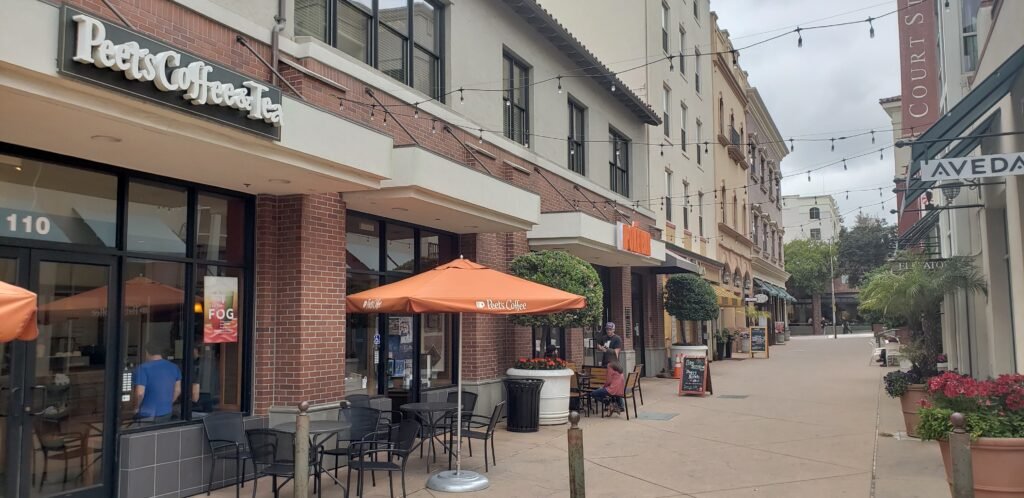
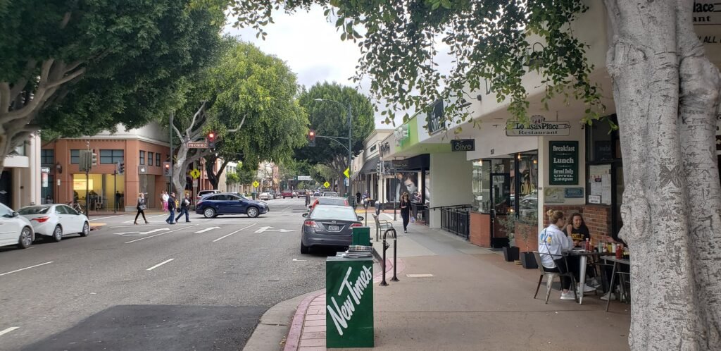
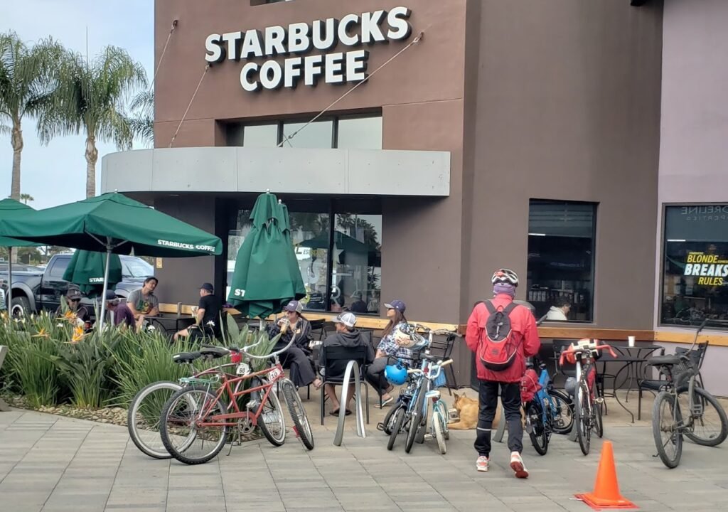
I followed the official Pacific Coast Route. From Morro Bay, it turned inland and became a divided highway. Even the most scenic route can’t avoid some amount of highway riding. The steady uphill grade went on for miles and ended in the beautiful town of San Luis Obispo. I stopped for a coffee in a cute business district.
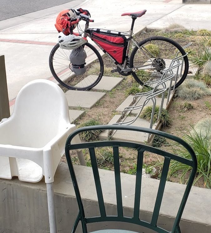
I chose to get a coffee from those other guys.San Luis Obispo is referred to as SLO, and has a charm all its own.
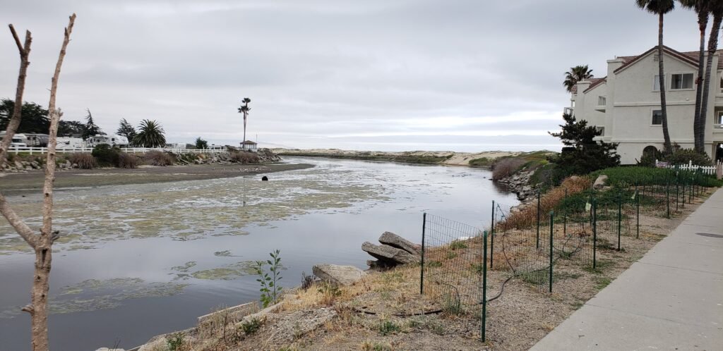
After SLO, I rode back to the coast, sort of by surprise; I had not looked at my route that much and was not expecting any ocean views. The greater Pismo Beach area is a classic eclectic group of beach towns and the ride through them was fun and easy. The downtown pier area was under construction while I was there. I wound my way through it and across Pismo Creek, which formed a wetland in the middle of town.
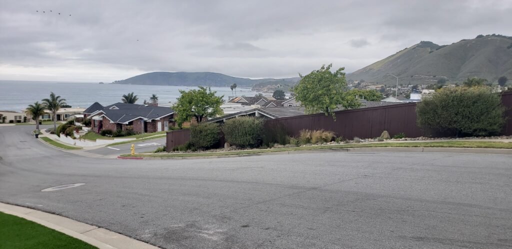
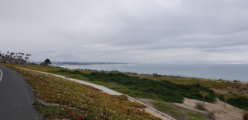
The coast along Pismo Beach had a little of everything, including suburbia with a view.The coast wraps around to form San Luis Obispo Bay.Pismo Creek meanders through town, creating a coastal wetland that the area has grown up around.
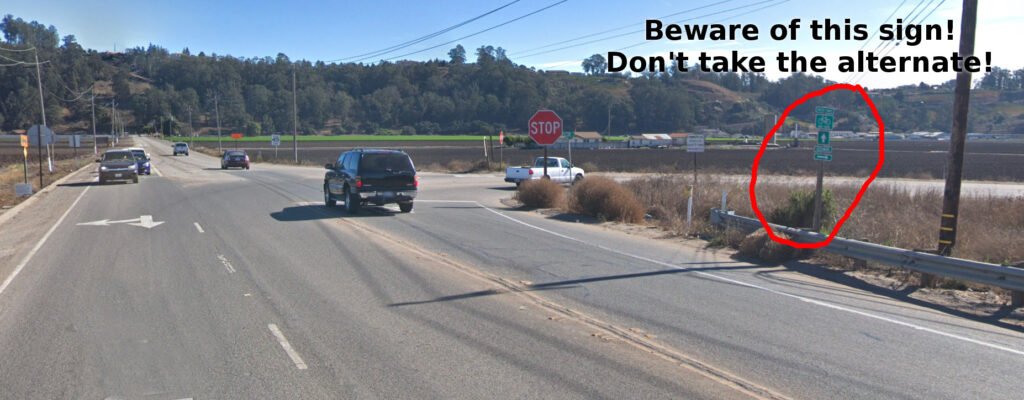
Next is a route recommendation for Pacific Coast Route riders. As you leave Pismo Beach and ride through Arroyo Grande, stay on the marked route. A sign points you down Halcyon Road as an alternate route. It cuts a corner off the route and saves you some distance, so it is very tempting. Halcyon looks great at first, but it ends with no shoulder, is very steep, and is very busy. I have taken that cut twice now because of that sign, and I think it is a bad idea.
Resist the temptation to cut a corner on Halcyon Road.
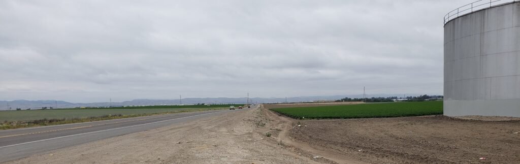
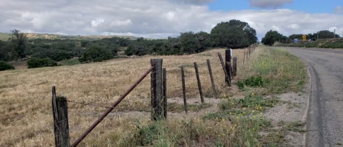
But I survived Halcyon Road, and the rest of the day was farm country roads. I shared the road with huge farm trucks, slow tractors, and clumps of dirt while negotiating small shoulders and rough pavement. The scenery was classic rural farmland with open fields, storage silos, heavy farming equipment, and the like. It was an abrupt change from the previous days of riding along the coast.
Much of the day looked like this.
My ride that day ended in Santa Maria. It is the big city in a farming area, so it reminded me of where I grew up. I stopped for supplies and made my way to the hotel where I would be staying that night, the only night I would spend at a hotel during my 8-day tour. I couldn’t believe how happy I was to see it; I was ready for a little extra comfort that night.
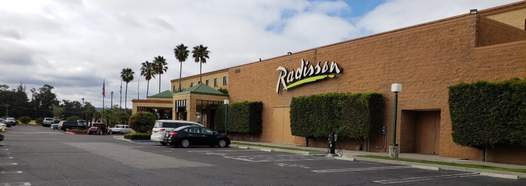
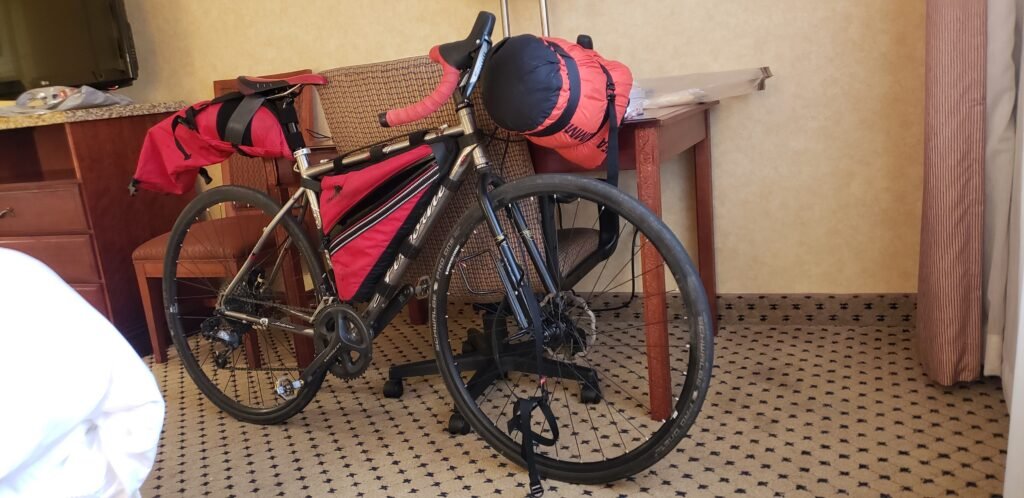
When I called ahead to make reservations, the concierge assured me that it was okay to bring my bike right into the hotel and into my room. They said they had a lot of cyclists there riding the coastal route. I could see why: the nearest campground is pretty far away in Lompoc and did not fit my schedule. The Radisson is only a few bucks more than the bargain motels, so I splurged. I was happy I did.
The Radisson Santa Maria was a sight for sore eyes. And sore butt, legs, back, etc. I may have cried a little when I pulled in.Not the usual place to park my bike, but the hotel was good with it.
I ate dinner at the nicer restaurant at the hotel with white tablecloths and everything. Such decadence! I would be back to camping and cooking soon enough. Pampering myself for a night was a wonderful change of pace and recharged me for the rest of the ride. I concluded that when I do a multi-week tour someday, I will stay at hotels one or two nights a week.
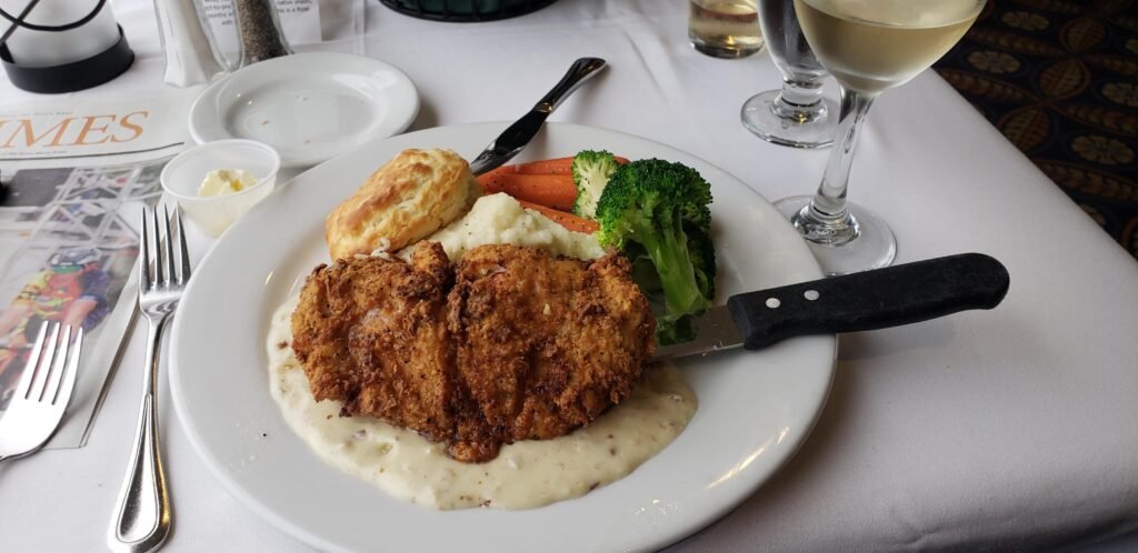
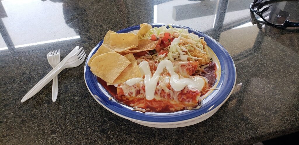
I think there was chicken somewhere under all that deep-fried goodness. When in farm country, eat comfort food, I say. I had enough leftovers for breakfast, and the room had a fridge and microwave.The hotel serves the airport. It is next to the tarmac, and I had a view of it from my table at dinner. However, there was zero activity while I was there.
I cleaned myself and my clothes thoroughly, using the sink and tub to clean my clothes. I hung everything all over the room to dry, feeling confident they would actually get really dry that night after so many nights outside in foggy, damp conditions. I must have been in “roughing it” mode; I never even thought of using the laundry at the hotel. I put all of my electronics on real wall chargers too, another luxury. And as I did on most nights, I fell asleep quickly, early and well, ready to continue my ride into Southern California wine country the next day.
Loading map…Scroll or tap to load the interactive map
It is time for another not-very-pretty blog about bike equipment. I made a tank that I think can seat just about any bead lock bike tire. This is an over-the-top tool but I had to go to extremes. Getting my floppy (and awesome) Big Fat Larry tires to seat had proven to be very difficult. I tried everything I could find on the web but anything that worked was very difficult. The inflation tank method I came up with seats them easily.
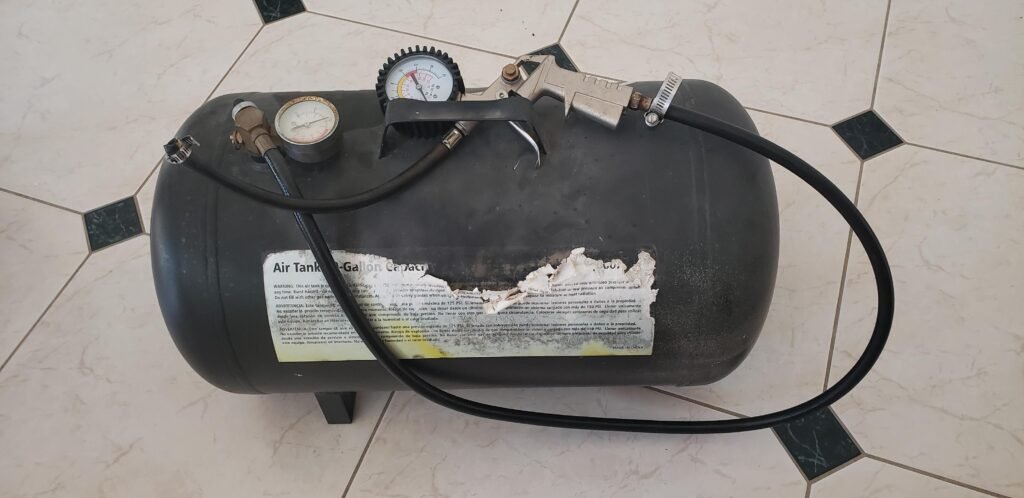
This is the beast in all of its, um, glory.
This is for bead lock tires and rims. Bead lock means that the bead of the tire (the part that touches the rim when installed) locks into the rim. Once locked in, the tire will stay seated even if it is deflated.
WARNING: This is a bead seater ONLY. Do NOT use this to fully inflate bike tires. The airflow is too high to control for safe tire inflation.
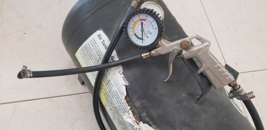
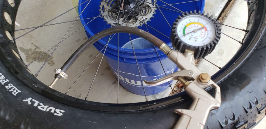
It is pretty simple: an air tank with a trigger release tire pressure gauge with all the Schrader valves removed. To seat a tire you remove the core from the valve on the rim and deliver a high pressure, high volume blast of air with no valves in the way.
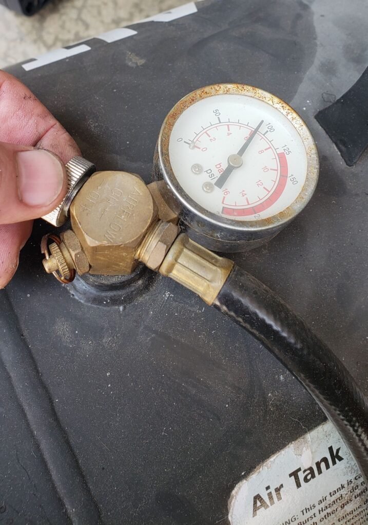
It has two gauges but only needs one.
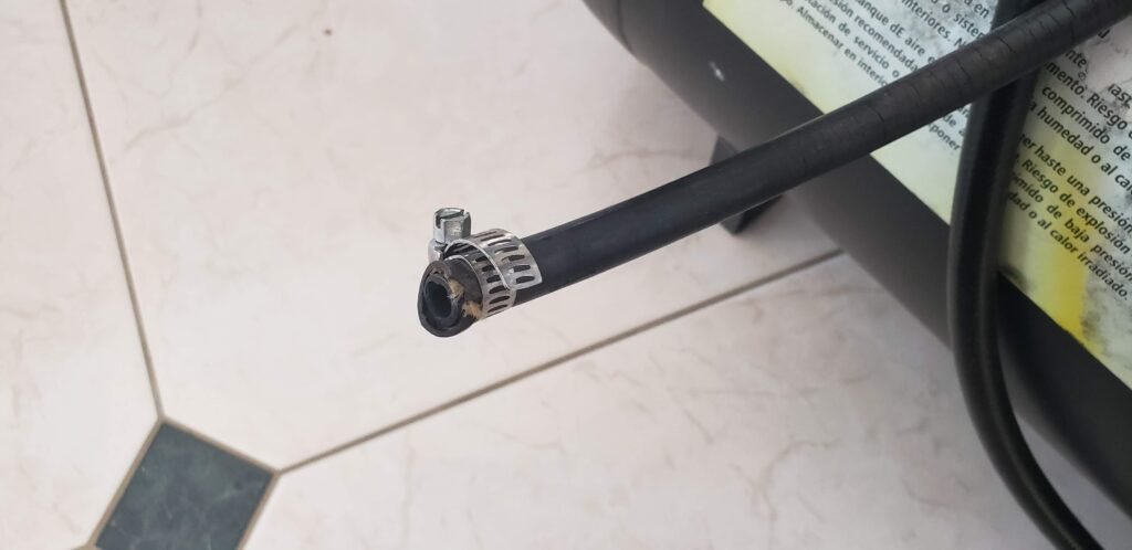
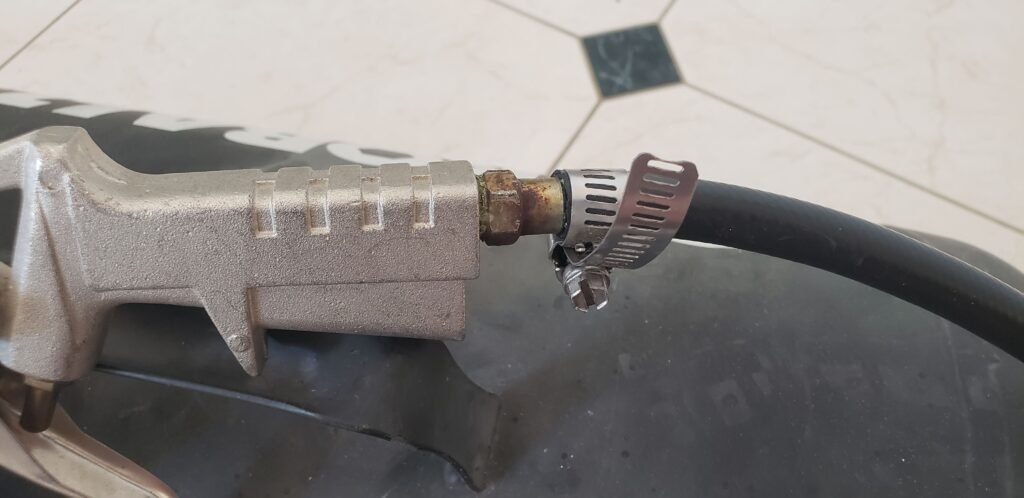
No need for fancy valves or fittings, the pipe clamps work fine.
It would look nicer with shorter pipe clamps I suppose.
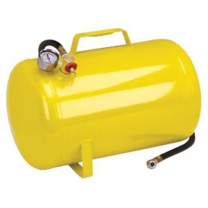
Here is how to make one and use it safely. Get a portable air tank. Mine is 10 gallons, but a 5 gallon model would be fine and easier to handle. The tanks have a pressure gauge, a valve, and a hose with a Schrader valve. I take it to a local tire store and they fill it for me. I always offer to pay but they never accept anything for it. They never object to a tip though. The tank is rated for 125 psi and I have them put in max pressure recommended for the tires that I am using. The fact that you could put in higher pressures than your tires are rated for is the danger of using this tank. You MUST take precautions to use it safely. Never overinflate your tires.
This is what they look like all shiny and new.
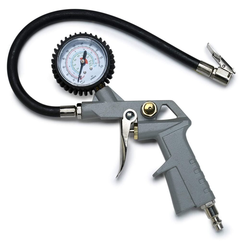
Then get a trigger tire inflator gauge. They come in many varieties, but you are not buying it for the gauge. All you really want is the trigger operated valve to release air in a sudden burst: faster than the built in valve on the tank. You can get triggers separately but it is usually cheaper to get them as part of a gauge.
These are available online easily
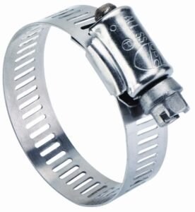
Cut the Schrader valves off the ends of the hoses. Install the trigger gauge at the end of the tank hose with a hose clamp. Put a hose clamp lightly tightened around the end of the trigger gauge hose, just enough to keep it from falling off.
Standard issue stuff, available at hardware stores everywhere.
To mount the most difficult tires, seal your rim and seat one bead of the tire, then use this to seat the other bead. Here it is step by step including all the safety precautions you must follow and all the tips I know. I need to use all these tips for my huge fat bike tires, but you may be able to skip a few steps.
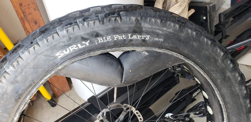
Mount the tire on a sealed rim with a tube so that both beads are seated.
The beads may make one or more cracking or popping sounds as they seat, sometimes very loud.
Some tire/rim combos seat silently. Inspect the bead. The bead will seat a consistent distance away from the rim all the way around.
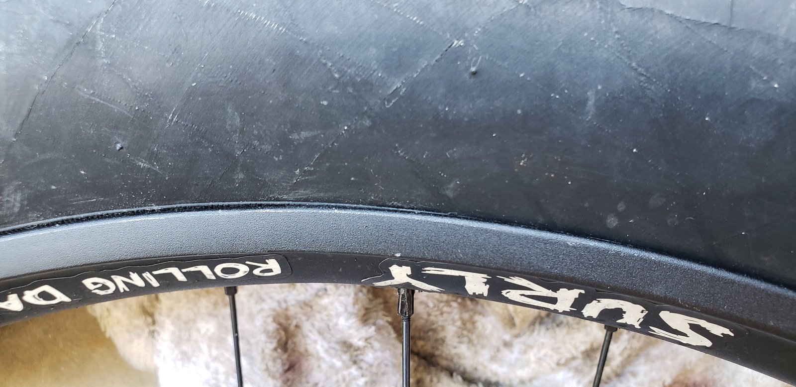
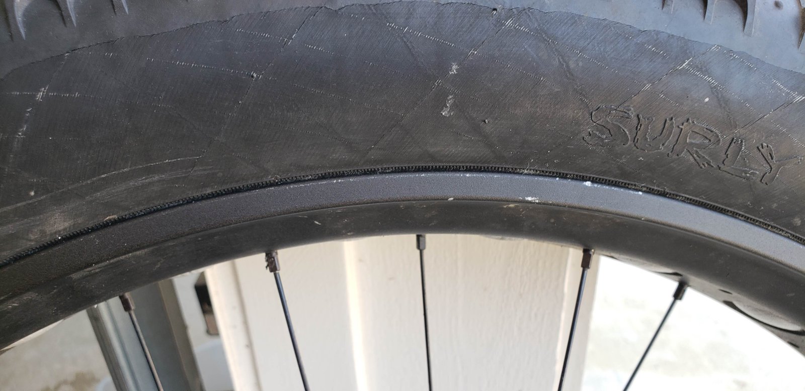
This bead is not seated. The rib on the tire near the rim on the left goes under the rim on the right.
This is seated properly. The rib is a consistent distance from the rim all the way around.
For a new tire that may have creases or tend to fold up, leave it mounted overnight or take it for a few rides. That will help it hold its shape.
Let the air out of the tube, unmount one bead and leave the other bead seated. It should stay seated through rest of the process.
Remove the tube from the unseated side.
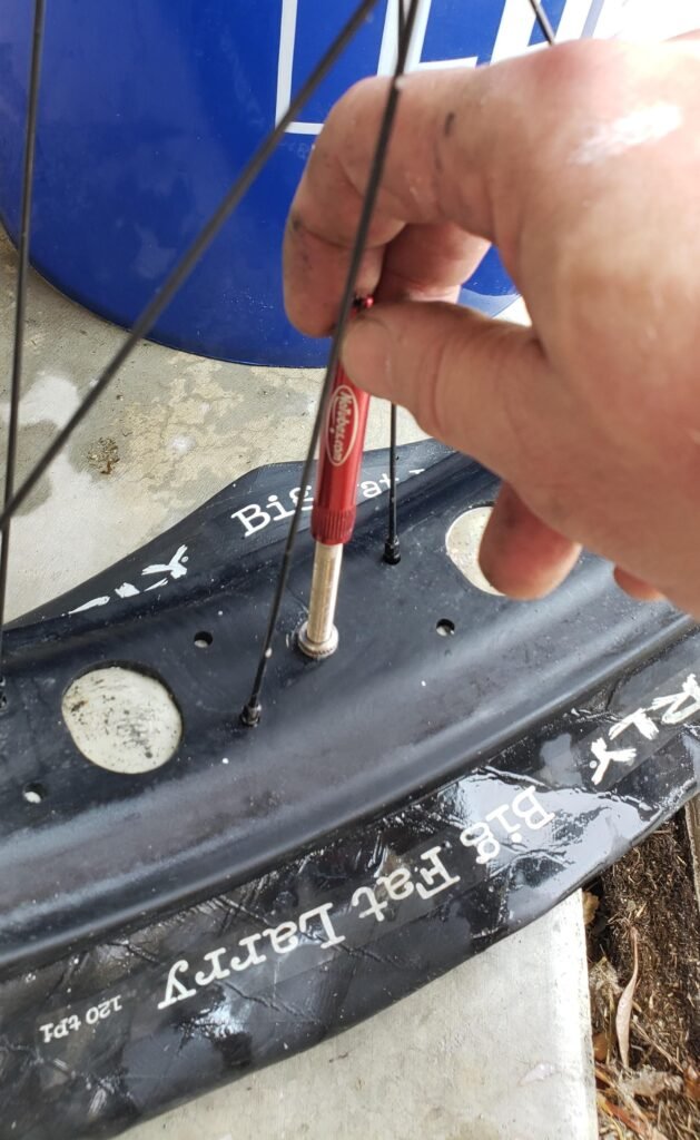
Install the tubeless valve.
Remove the valve core from the valve.
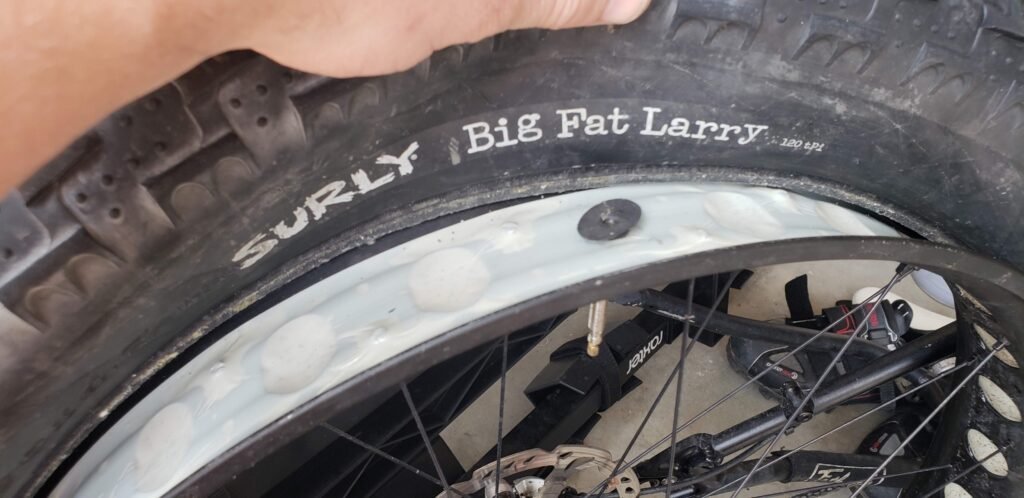
Brush the loose bead with very soapy water, thick and soapy enough to make the bead slippery and sudsy.
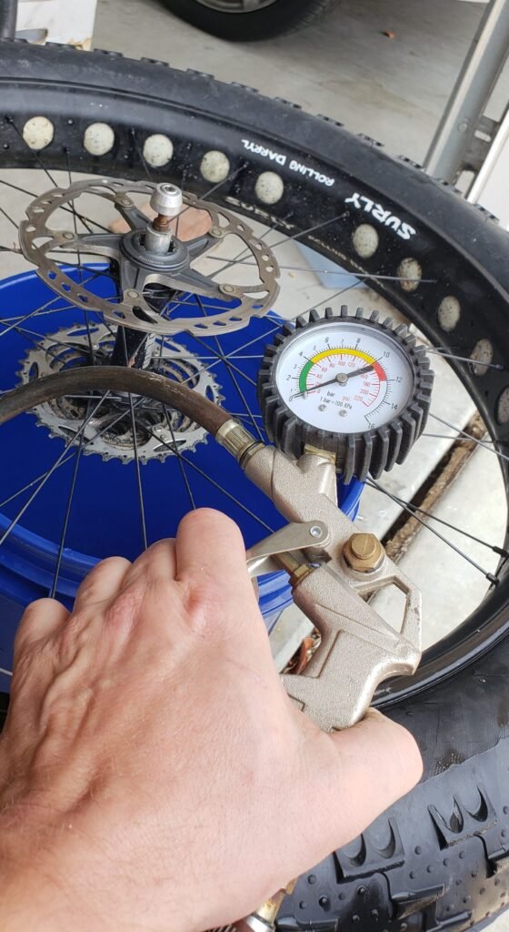
Lay the wheel on its side with the loose bead facing down, inside the rim with the weight of the tire pushing the bead toward the rim. Laying the wheel over a bucket is a good way to do this.
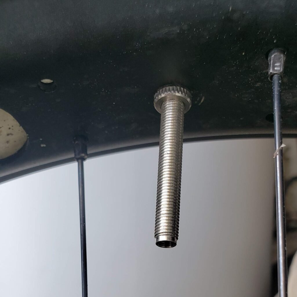
Put the hose from the bead seater over the valve and tighten the hose clamp around the valve.
Open the valve on the tank.
Press the trigger on the gauge to release air, but only for about a second, then release the trigger. The bead should seat.
If that does not seat the bead, press the trigger slightly longer.
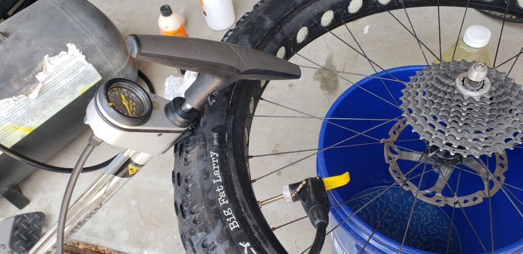
It is possible for the bead to seat on some of the rim but not all the way. Even if you get a partial bead seating, that is OK, remove the hose from the valve. That will let the air out of the tire. The bead should stay partly seated. You should be able to finish seating with a floor pump. This is safer than completely seating the bead with the tank.
Note the valve core cleverly laid on the chuck as a reminder that you should still have the core removed at this point the process.
If you cannot seat the bead with a floor pump, seat it again using the tank, but seat the bead more completely and then finish with the floor pump. The goal is to use the tank as little as possible for safety reasons. You may need to completely seat the bead with the tank, but that is pretty rare.
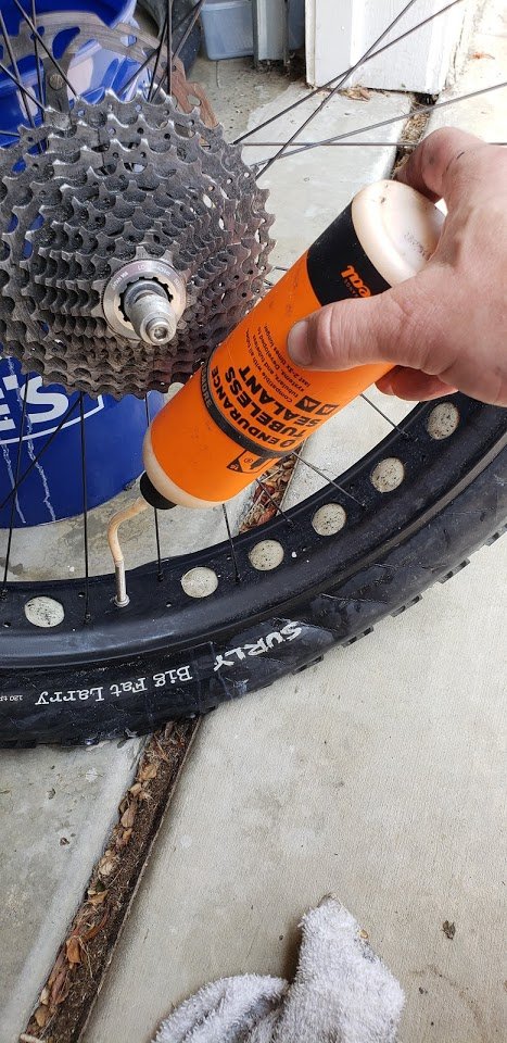
Once the bead is fully seated, remove the floor pump or tank. This will let all the air out of the tire again. Add your favorite tubeless tire sealant through the coreless valve.
Reinstall the valve core.
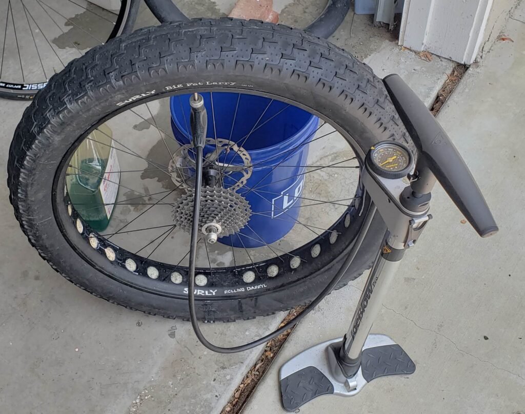
Reinflate the tire with a floor pump.
Bounce the tire around and use your favorite method to seal the sidewalls. Take it for a ride. You are done!
There are other ways to deal with hard-to-seat beads. Air compressors can deliver high pressure but in small volume. Some come with tanks like this so they can deliver high volumes, but that gets pretty pricey. There are floor pumps made to push lots of volume but nothing like a tank will deliver. There are even floor pumps like the Lezyne Overdrive that pump up a small tank and release that pressure all at once, like a mini version of this. But this is a much bigger tank. If those other solutions work for you, great, but if you are like me and needed something bigger, this tank was an affordable way to go.
I awoke Wednesday morning on day 5 of my 8 day bike tour of coastal central California, greeted by the sound of the waves crashing on the cliffs below my tent at Kirk Creek campground. The morning weather was very damp fog, classic Big Sur, so my gear was pretty wet but manageable.
I was on a schedule that day. I would ride up to the closure on Pacific Coast Highway (PCH) at Gorda, closed due to the Mud Creek slide, and meet a shuttle that would take me around the closure and drop me off on the other side. It would take me about an hour to ride to Gorda. The shuttle ride would take 3 hours, then I had 45 miles of riding to finish the day. It would be fast with a big descent followed by flat roads and a good tailwind. I needed to stop in the biggest town of the day, Cambria, for supplies. My schedule would be tight, but I refused to stress about it and just take it as it happened. I packed up and said good-bye to the few fellow campers who were awake that early, and I was on my way.
The road from Kirk Creek to Gorda had very few cars on it, and the skies were clearing up a little.
As I neared Gorda, the clouds broke up and let some glorious sunshine through.
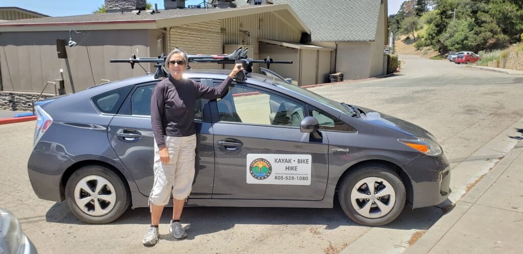
My shuttle passed me a couple of miles before Gorda. The driver, Mandy, recognized me from my description and pulled over. We introduced ourselves, and I had her drive ahead as I rode the rest of the way. I was not going to miss the chance to ride PCH as an abandoned road.
Mandy of Central Coast Outdoors was my shuttle pilot.
Mandy was a friendly and knowledgeable host. I tried to help as much as I could, but she insisted on lifting my bike onto the roof of her car, and she remarked on how light my touring bike was. She had shuttled many touring bikes as a tour guide, but she said mine was among the lightest. She probably says that to all the bikers. We agreed that we liked the lighter style better.
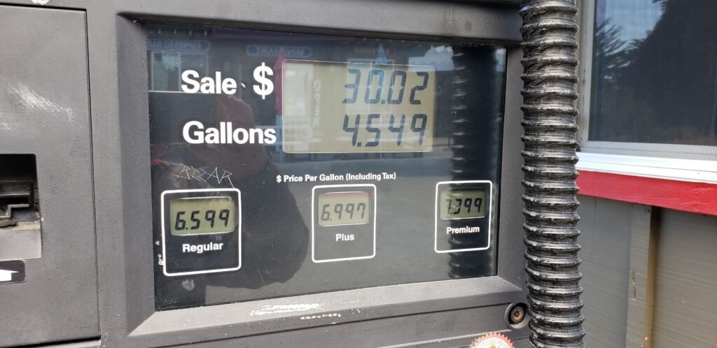
Yes these are dollars per gallon prices for gas, and premium is $7.399 per gallon.
Whenever I stop in Gorda, I take a picture of gas prices at the pump for fun. I usually post it to Facebook and freak people out. It may be the highest gas price in the country, but I have no problem with it. Getting gas there would be expensive. And you don’t need to fill up. A few gallons will get you to a place with more affordable gas.
No one else signed up for the shuttle, so it was just Mandy and me. I learned that Mandy was in the process of stepping down from a leadership role in an environmental organization. I never got around to asking which organization; I was too interested in hearing her talk about the various birds, deer, and fish in the area, and the organization’s efforts to restore and protect wildlife.
We got delayed by the traffic at the “Lightning in a Bottle” music festival. Had I known that The Glitch Mob and Emancipator were there, I might have considered checking it out. Mandy eventually cut around the traffic backed up on the main road. But with the delay, the longish ride ahead of me, and the need to get supplies, I made the decision to have her drop me off in the lovely coastal town of Cambria rather than drive back up the coast to the other side of the slide. It cut out about 20 miles of riding, and my body was telling me that it needed an easy ride that day. The next day would be my longest day with the most climbing, and I didn’t want to push it. I missed part of PCH with low traffic, but I did not regret the decision to take it easy that day.
I opted to get dropped off in Cambria and continue my journey from there.
While in Cambria, I needed to find another fuel canister for my stove, and I wanted to stock up for dinner. Mandy recommended where to get what I needed.
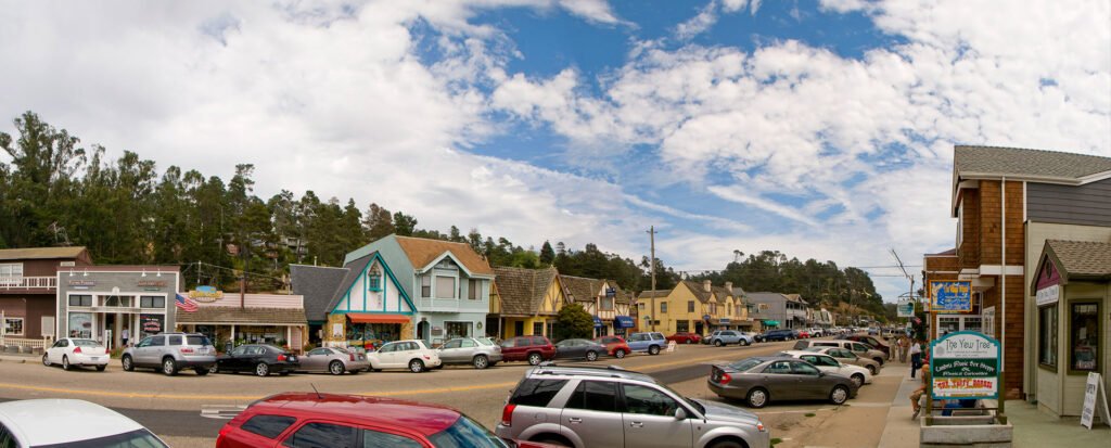
Cambria is a pretty little village and the most civilization I had encountered in a couple of days.
The food was easy. I got the biggest deli sandwich ever at Sandy’s Deli and stashed it away for later. The fuel was another matter. I needed an isobutane canister, which has many advantages, but finding replacements easily is not one of them. You pretty much have to go to a dedicated camping store. You might find one at a hardware store with a few camping supplies, like the Cambria True Value store. It was a large canister, but I could hardly be choosy in my situation.
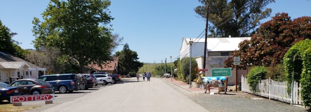
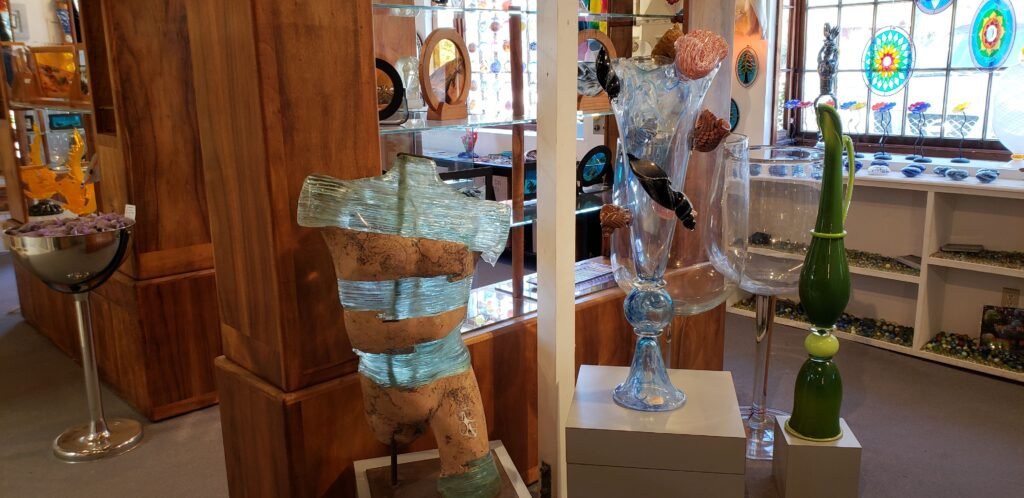
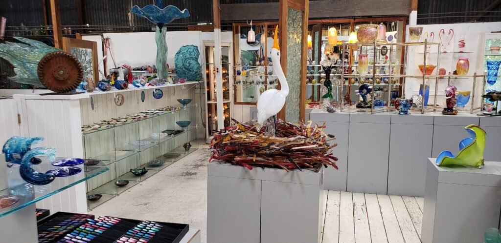
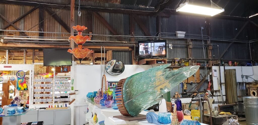
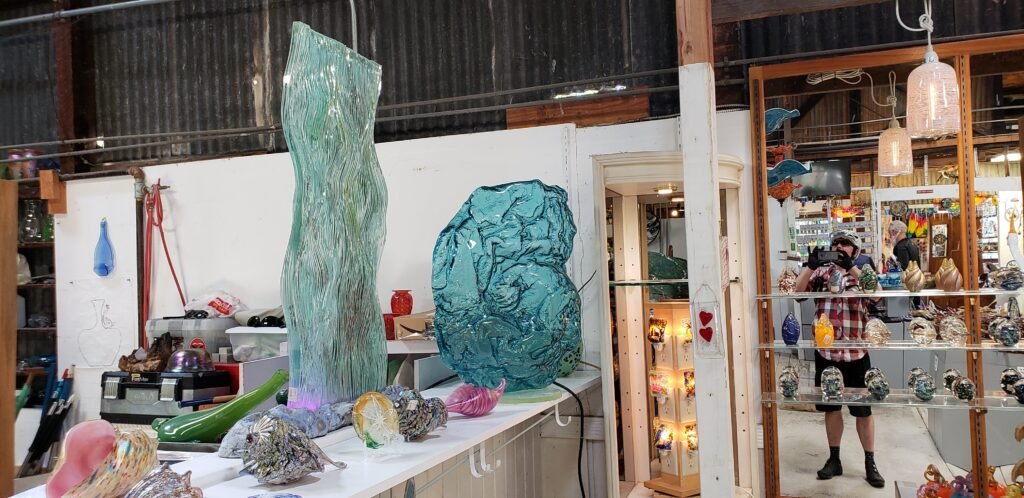
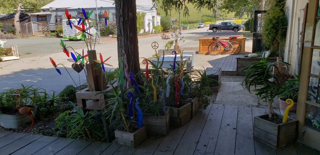
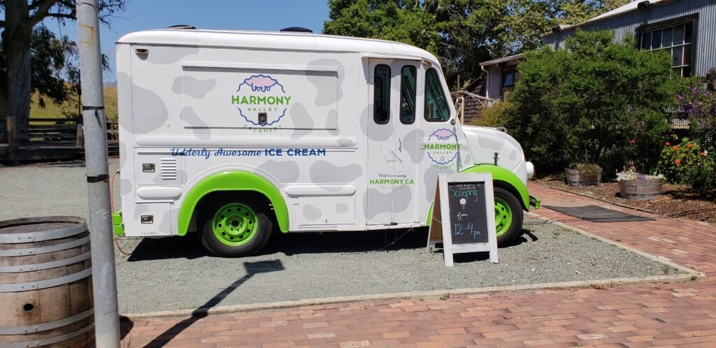
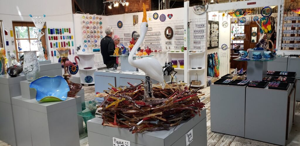
I came upon the tiny village of Harmony just a few miles down the road. I took Mandy’s advice and stopped there. I have passed it many times, laughing at the posted population of 18 and never thinking about stopping. It is worth it for the stunning glass shop alone. On a weekend, you could also check out the dairy and ice cream truck, a pottery shop, and a “visitors center” with free coffee.
This is almost all of Harmony, CA, population 18. There is a winery too.The glass blowing shop featured everything from small trinkets to museum-quality artwork.The stork in a nest was the centerpiece of the main room. It and its nest were all glass, of course.The shop was overflowing with beautiful glasswork.The workshop was in the back.Even the entry was full of whimsical bits of hand blown glass work.Sadly, the ice cream truck was closed. I was really in the mood for some right about then too.
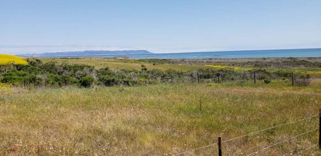
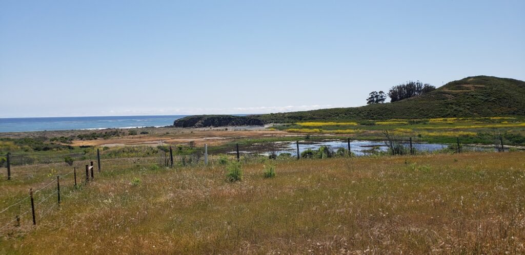
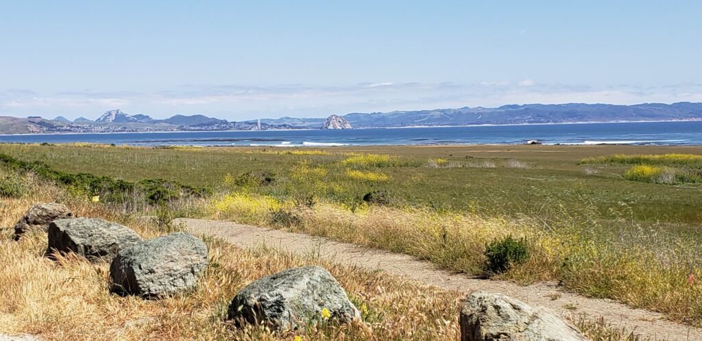
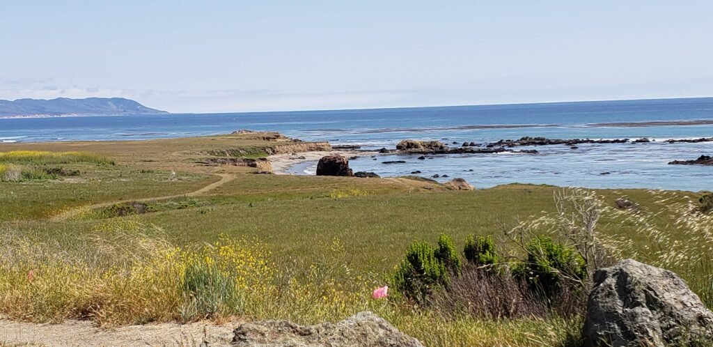
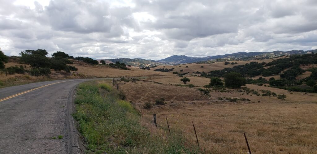
I continued south. The scenery was rolling grassy hills and ocean views. Morro Rock was visible most of the time, and I featured it in many of my pictures.
You might be able to barely make out Morro Rock on the left.The grasslands intermingled with coastal wetlands in many places.I decided to err on the side of too many pics of Morro Rock.The coast transitions in this area. It still has the rocky features like Big Sur to the north, but scaled down.
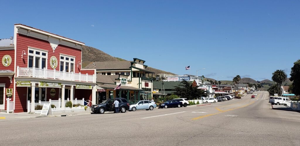
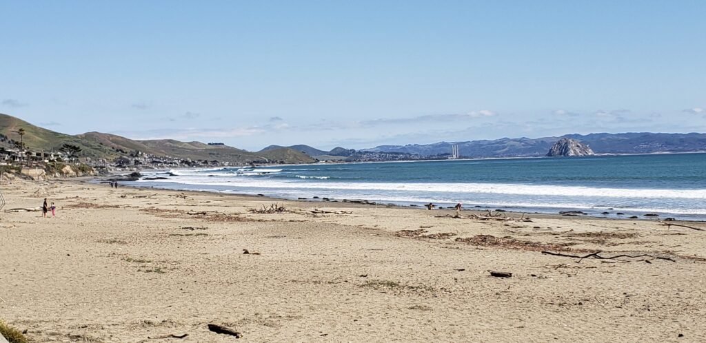
Like Harmony, I had driven by Cayucos many times and not stopped. Staying with my plan, I pedaled slowly through the lovely little town. It had a pier, a beach, and a quaint downtown area. I stopped at the local liquor store. It can be hard to find the right size bottle of Jack Daniel’s when you are riding, but Paul’s Liquor Store, while simply named, had what I needed.
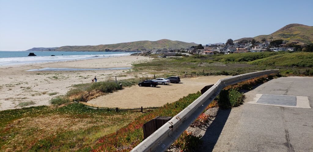
Ocean Avenue in Cayucos is hard to describe without saying “cute” more than once because it is so cute.The beach is offers a great wrap around view of the bay. It had a natural look with driftwood, kelp, and lots of footprints.I moved on from Cayucos but had one last look back.The homes along the beach created a gorgeous scene.I arrived at my destination for the day with Morro Rock still serving sentry duty in the bay.
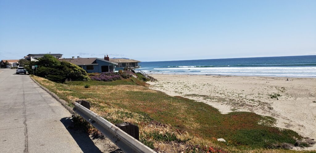
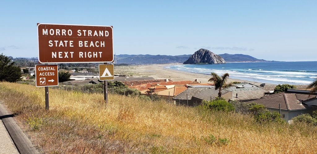
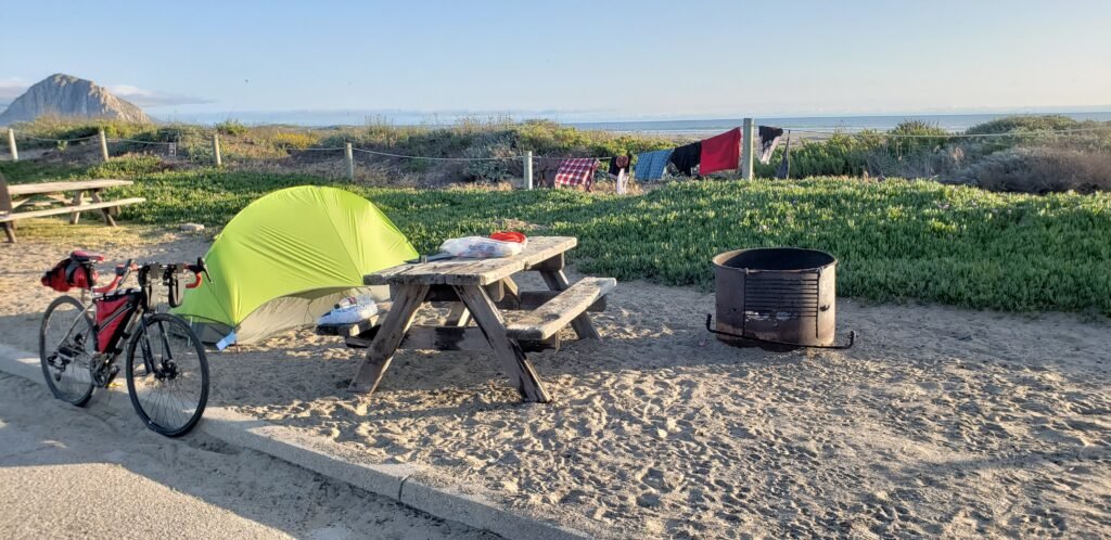
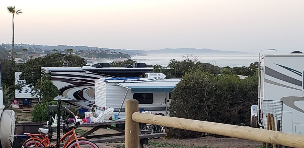
Morro Strand was an interesting campground. It didn’t have Hike or Bike sites, so I reserved a tent site at full price. The spot I selected was as close to the ocean as I could get, with just a low bluff between me and the bay. It gave me awesome scenery, but it wasn’t without issues. My campsite was 100% sand. So it was hard to pitch my tent and keep my gear clean. Many people thought it was a nice view, including the neighborhood only a few hundred yards away, perched above the campground. They looked over the campground as part of their ocean view. Many of the homes had windows on the side facing us. I just pretended they weren’t there. The campground had no showers, but they did have an enclosed bathroom with flush toilets and sinks. Omitting showers seemed odd. The campground seemed designed for RVs, with tent sites as an afterthought.
A campsite on the beach.
After setting up camp, I rode around the area for yet more supplies and sightseeing. The summer days were long, and I found myself going down with the sun. I fell asleep early and slept well once again, ready for the next day of my tour.
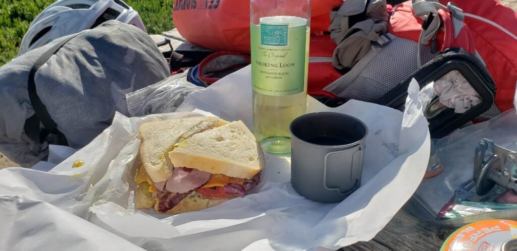
An enormous deli sandwich and some locally procured wine were a great way to end the day.
Loading map…Scroll or tap to load the interactive map
Distance
14.61 km
Elevation gain
+218 m
Elevation loss
−147 m
Max elevation
100 m
Waypoints
0
Elevation profile
Loading map…Scroll or tap to load the interactive map
My bicycle tour of the California coast continued into its 4th day on a Tuesday. That put me right in the heart of a work week, beyond the feeling of a mere three-day weekend, and firmly in a vacation-adventure frame of mind. My ride that day would take me from Pfeiffer Big Sur campground to Kirk Creek campground, which is a bit of a spoiler since I started the day not sure where I would end it.
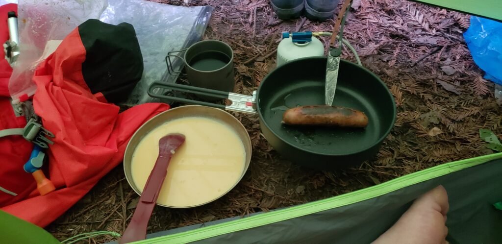
I made breakfast in the vestibule of my tent, once again using its protection as a great way to get an early start without stepping out into the cold. The neighboring redwoods seemed to think their needles were a good accompaniment to any recipe, and I had to go to extra lengths to keep from including them as an ingredient in my omelet.
Powdered Ova Easy eggs, pre cooked chicken sausage, coffee and redwood needles. What more could you want for breakfast?
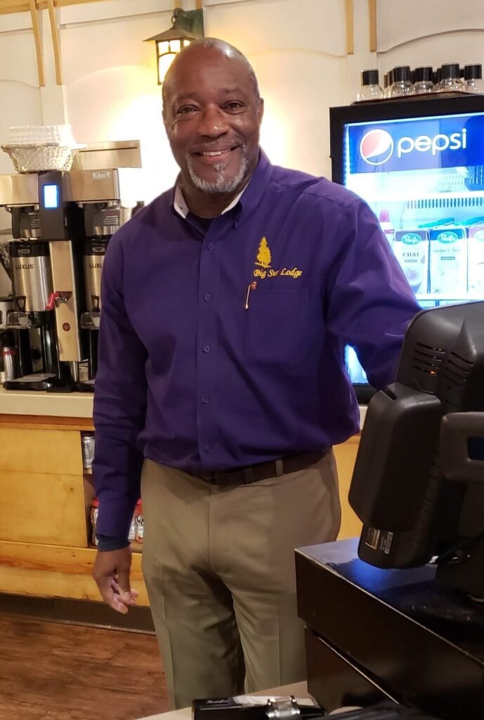
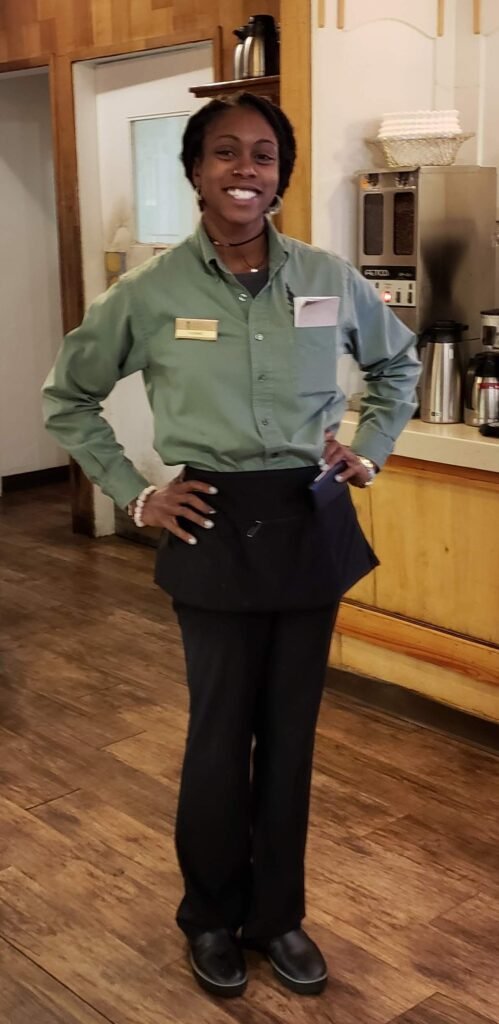
After breakfast, I went to the lodge and enjoyed a fancier cup of coffee, used the meager internet/cell service, and charged my electronics. Michael and Yvonne, the lodge staff, were wonderful. We talked about Big Sur history, cycling stories, plans for the area, coffee-making tips, etc. Michael knew a lot about the area’s history and how the land had changed over time. He took me on a tour of some of the pictures in the lobby, using them to explain how the bridge and road had changed over the years, how there used to be rooms in the lodge, and other great local trivia.
Michael gave me an impromptu tour of the historic photos in the lodge.Yvonne was very friendly and enjoyed talking about my travels and life at the lodge.
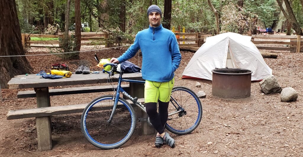
Back at the campsite, my bike touring neighbor Shane had changed his plan. Originally he was going to go for a hike that day. But instead he decided to do a local ride. He was traveling with a bike trailer and wanted to leave it behind for a day. His route took him in the same direction as I was going, then up the challenging Nacimiento-Fergusson Road, which was near the campground I ended up staying at that night. It was sort of implicit that we wouldn’t ride together; his pace was clearly faster than mine. For non-cyclists, this might seem a bit strange, but cyclists’ speeds can vary widely, and you don’t presume to ask another rider to crawl along at your pace.
Shane, my neighbor at the campground, was good to go that morning too, but would end up back at the campground at the end of the day.
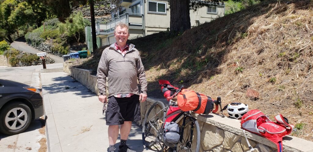
We took pictures of each other before we started riding. I was enjoying myself more than this photo suggests.
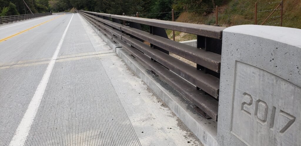
I departed first, so I knew we would see each other out on the road. The ride out of the valley was a long, steady, steep grade. I was looking for the new bridge, completed just a few months earlier after an existing span collapsed. Its failure made all roads into Big Sur Village impassable, isolating it and creating an emergency. There are many bridges on the road, each with a date marked on it. There was only one from the previous year, so I easily identified the new one. Construction was complete, and the area was clear of equipment and returned to normal, all amazingly quickly.
This must be the new bridge that was built when the old one collapsed last year.
It was not long until Shane rode up effortlessly from behind. He was nice about it and slowed his pace to match mine for a while, and we talked. Unfortunately, because of the long climb, I couldn’t do much talking. I think Shane could have delivered a State Of The Nation speech. Eventually we said good-bye and hoped that our paths would cross again later that day, which they did ever so briefly as we passed each other going in opposite directions.
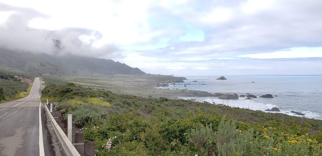
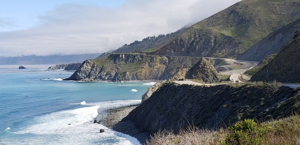
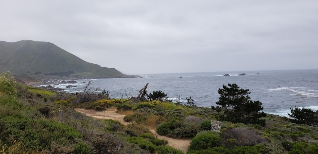
Traffic continued to taper as I went south, more as I passed each tourist destination. By the time I passed Julia Pfeiffer Burns State Park, traffic was getting downright sparse. The ride that day was pure, uninterrupted, classic foggy Big Sur coastal cliffs.
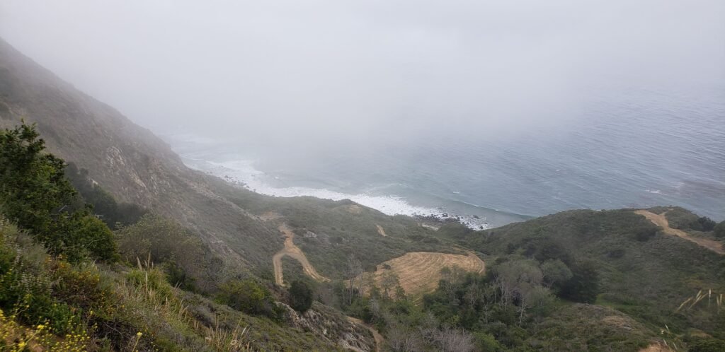
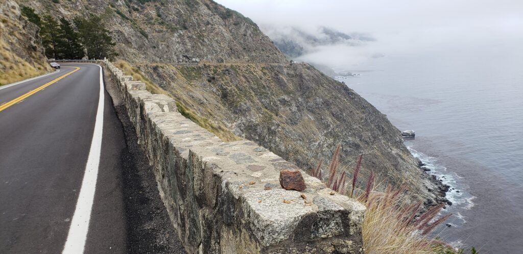
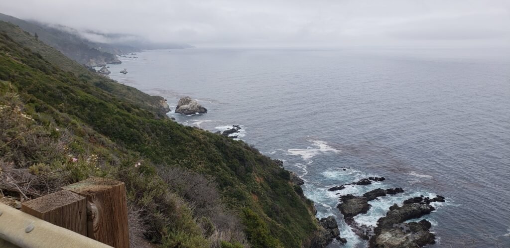
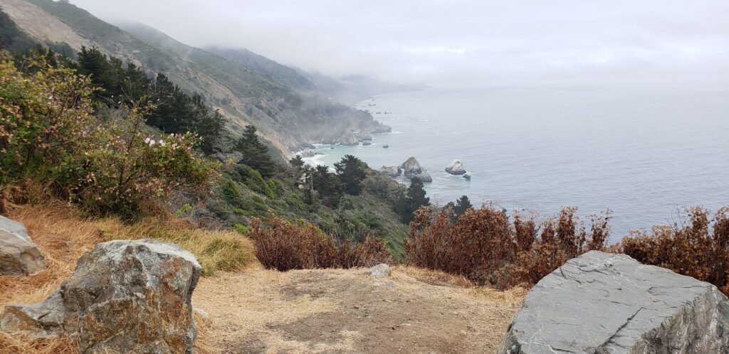
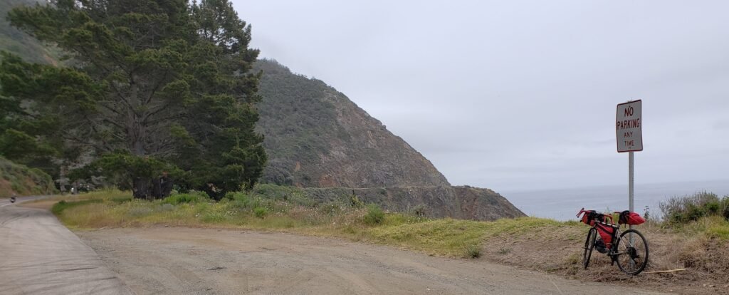
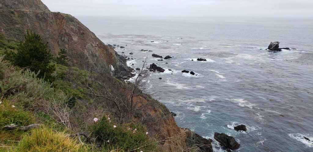
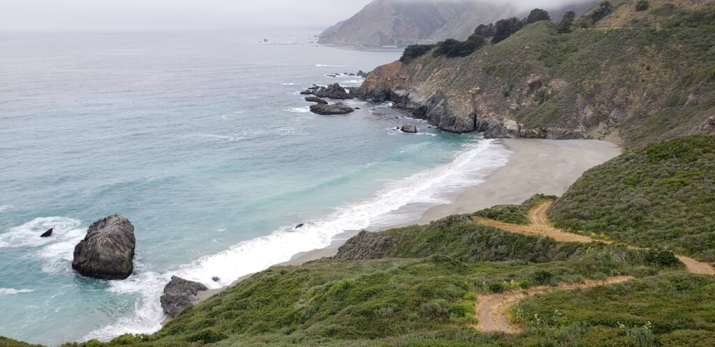
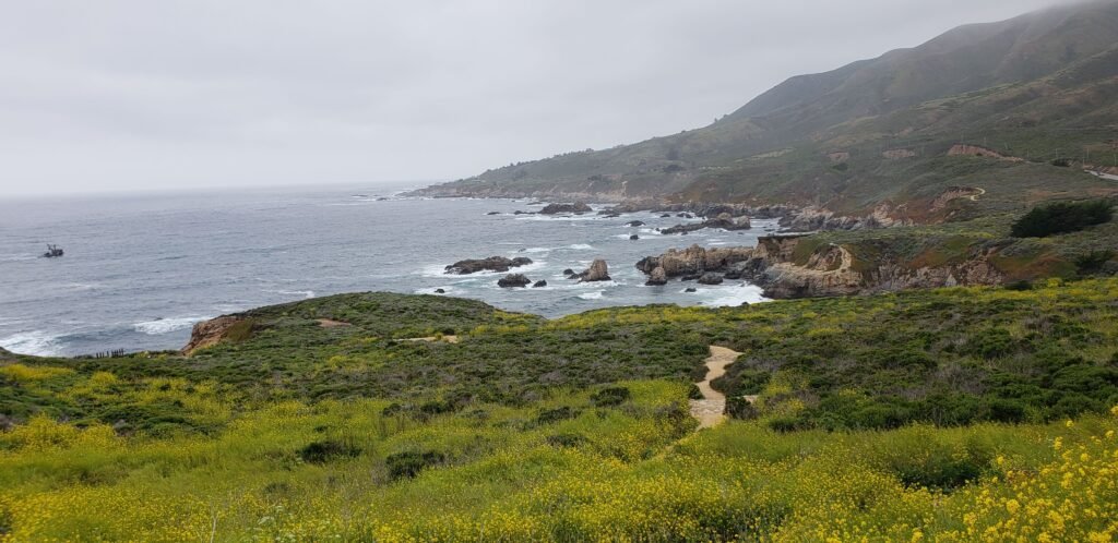
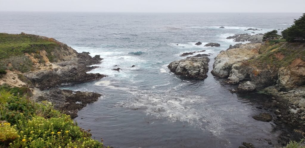
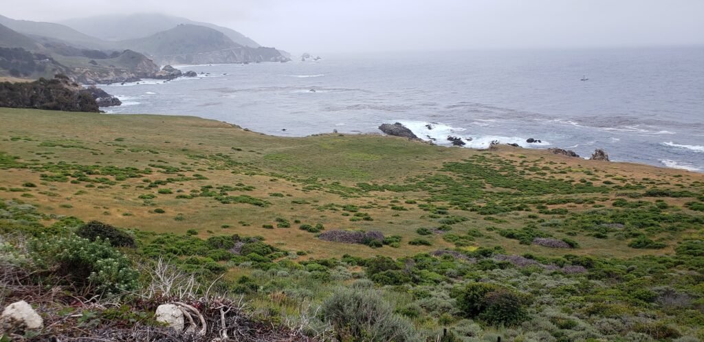
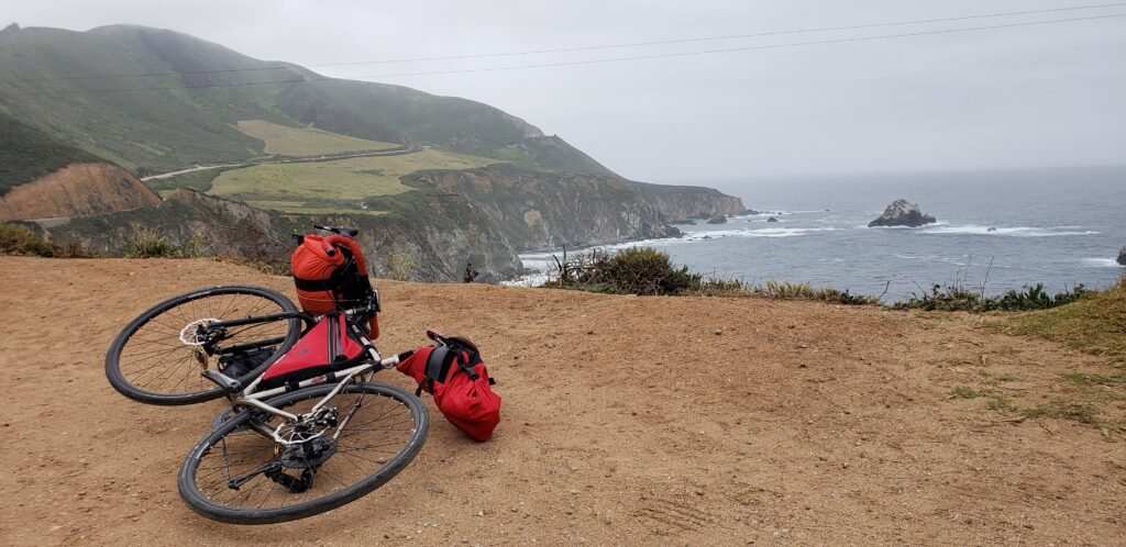
Many sections of the road were next to sheer drop-offs to the ocean below.The only place for a cyclist to ride on a few sections was in the lane with cars. Fortunately, traffic was minimal, and visibility was good.The rugged, steep cliffs afforded dramatic views mile after mile.Big Sur revealing itself through the fog.I could not help but park my bike here for a pic, being the rebel that I am.The road is visible on the upper left, and offered little margin for error in many places.The occasional pocket beach.
I wasn’t sure where to stay that night: Plaskett Creek or Kirk Creek campground. Plaskett Creek had running water and showers that Kirk Creek lacked. But Kirk Creek is the only campground on the ocean side of Pacific Coast Highway (PCH) in the Big Sur area, offering a more intimate relationship with the coastline as you camp. And you could buy water by the gallon there, enough to drink, cook, clean, and bathe.
I stopped at the little restaurant in Lucia, and I was pleased to see they had expanded their small market. [It has since burned and is currently out of operation. But the owners say they plan to rebuild.] I reduced my load by buying just enough food late in the day for that night and the next morning. Unaware of this well-stocked market, I stocked up at the Big Sur Deli near the beginning of the ride and carried my supplies with me all day. The market in the remote area is good news for cyclists and hikers. They had food, ice, and other vital necessities. Like a good wine selection.
I ended up deciding to camp where I always do: Kirk Creek. In the words of real estate agents everywhere: location, location, location.
Camping on the cliffs over the Pacific Ocean was an experience I did not want to pass up.
While I set up camp, I met Tom and Michael. Tom was not a cyclist, but he was using the hike-or-bike area legally to get a first-come, first-served campsite the next day. He was a sustainability engineer. I was very curious about what that meant, and he answered my questions. I learned a lot about his perspective and good stewardship of the environment even for big engineering projects.
Tom was meeting a group of other sustainability engineers who camped together at Kirk Creek every year. One of their college professors had started the annual event years ago. He had since passed, but the tradition carried on in his memory. During the trip, the professor used to catch fish from the ocean on the shore below the campground to feed everyone. That was no longer possible because the fish population in the area had declined. The location and its changes over just a couple of decades inspired Tom and his fellow engineers.
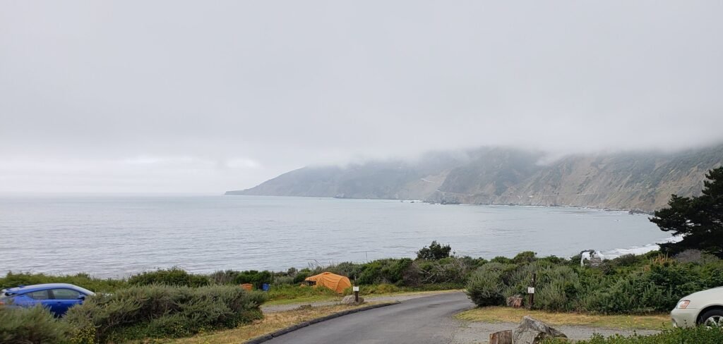
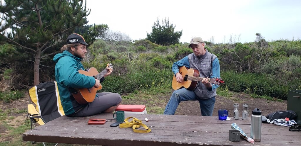
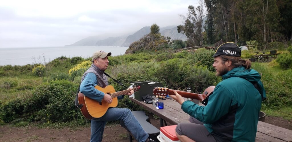
Michael was a gifted musician traveling by bike with his guitar. He arrived by descending the steep, twisty Nacimiento-Fergusson road and would continue north. He and Tom played guitar duets, we sang, I provided wine and whiskey, and we watched for whales breaching in the ocean. You know, your everyday chance meeting of strangers.
Michael and Tom, in concert at Kirk Creek.
The performance was worth more than one picture.
I got free internet from a guy traveling in his huge solar electric Mercedes Sprinter, with a Hughes Gen 5 Internet dish set up on a tripod outside. He had pitched a sign that said, “Internet Cafe.” I asked him how much, and he said it was free, and he gave me his WiFi password. The van was a beauty, and we talked about how it worked. He told me he had done an electric conversion on an old Chevy van, and when Mercedes saw it, they hired him to help develop a solar-electric Sprinter. The big beast was part of his compensation.
I went to prepare dinner that night, but the flame on my camp stove fizzled out. I worked around it by changing my menu. I presumed, mistakenly, that the butane canister for my stove was empty, even though I had only used it a few times. More details on that in the next blog. I asked a few other campers if they had an extra butane canister. No one did, but everyone I asked offered to lend me their stove, which was wonderful. I planned to stop in Cambria the next day and buy a new fuel canister. In the meantime, I threw out the canister I had, which I later realized was a mistake.
I climbed into my tent early as usual, falling asleep to the sound of the ocean crashing against the cliffs below. I slept well in the fog of the coast, surrounded by fellow adventurers.
Loading map…Scroll or tap to load the interactive map
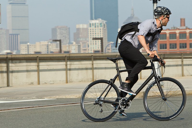
Bike Shirt (bīk SHərt) noun: A shirt suitable for cycling, styled like a casual shirt with a collar, made with technical fabrics and features helpful to cyclists.
Why bother with a nerdy definition? It distinguishes bike shirts from bike jerseys, tech tees and wing suits. Many companies that make them call them jerseys but I think they need their own name. It also distinguishes them from fashion wear that is usually all cotton and not cut for cycling. I started wearing bike shirts for commuting and touring, but now I find that I like them for almost all of my riding. I am doing a survey of shirts I bought with my money (that is why you see all men’s shirts here. Of course there are women’s shirts, too). No one asked me to review them. Because, well frankly, no one cares what I think. But that has never stopped me before, so here goes.
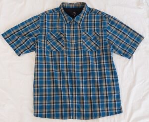
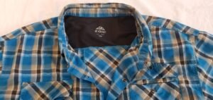
The Zoic District is a good example of a bike shirt. It looks like a casual button down, but au contraire! It is very much a piece of riding gear.
Bike shirts make it easier to get off your bike, socially speaking. You can go to a party, sit down at a restaurant, get groceries or walk into the office and not get the same old questions and funny looks from non-cyclists. Even if you want to change clothes eventually, you can take your time and stay in your riding clothes for a while longer. Ironically their slight dressiness can give a more relaxed look while you are riding. It is like making a statement that you always ride your bike, even when you need to look a little nicer, no big deal
Bike shirts: they are not just for hipsters anymore. You can mix and match with technical and not so technical clothes and gear.
Bike shirts are defined by fit and fabrics in addition to the collar. They should give you room to move around, esp across the shoulders when your arms are forward in a riding position. They should be shorter than a tuck in shirt. And while I prefer 100% synthetic fabrics for their ability to handle sweat, some cotton blends are acceptable. Synthetics seem to be getting more cotton like and comfortable every year. And most of the fabrics used have a UPF sun protection rating, which is the equivalent of SPF but for clothes instead of sunblock.
There are many other features you might find on a bike shirt. The shirts I like all have snaps that are styled like buttons. It is easier to snap and unsnap and as you ride for air flow adjustments. And if you crash or hit something, snaps come undone instead of tearing off. Extra pockets, usually with zippers and often hidden to maintain the casual look, are handy. A mesh yoke across the shoulders can allow the shirt to move around by sliding across the mesh instead of your skin. Pleats can provide freedom of movement. Reflective material, media cable ports, mesh panels and vents are all options you might find on a bike shirt as well.
Hiking shirts often fit the bill, and sometimes a fashion brand will surprise and make a shirt that works. I will review a bunch here. I have worn all of these shirts on multiple rides.
And while it is obvious, let me say it here in black and white: you must wear casual style shorts or pants as an outer layer with a cycling shirt. A cycling shirt and Lycra only shorts combo is just, no. I wear shorts OVER technical riding shorts, that is OK, But no “Lycra lower” look, please.
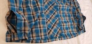
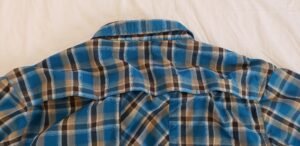
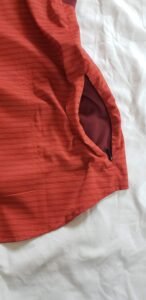
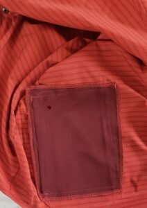
The Zoic District is shown above. The lightweight 50/50 nylon polyester fabric performs well and looks great. It has a mesh yoke with a vent flap in back for great air flow, making this a good warm weather option. The vent is positioned higher than hiking shirts to stay above your hydration pack. It is tacked into 4 sections so that if one gets pulled shut the others can stay open, and you don’t get all the flapping that comes with one big untacked vent. It features two hidden zip pockets on each side at the bottom. And all the “buttons” are snaps. All in all a nice alternative to regular cycling tops.
The mesh yoke serves multiple purposes.
These pockets are functional, I usually carry my wallet in one. And they are pretty near invisible. The plaid pattern turned at an angle down the middle of the back adds some style that is kind of a reveal when you take off your hydration pack.
The vent is high and separated into 4 sections by tacks for a great cycling specific feature.
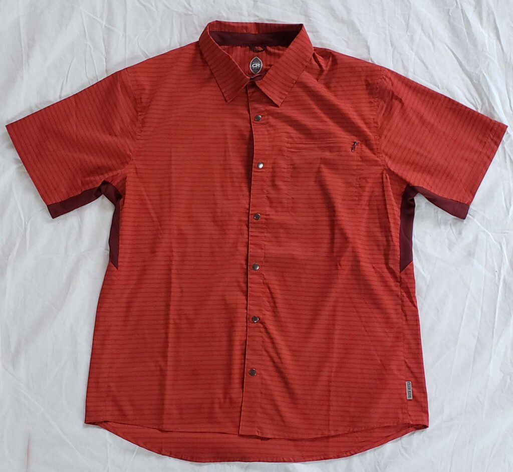
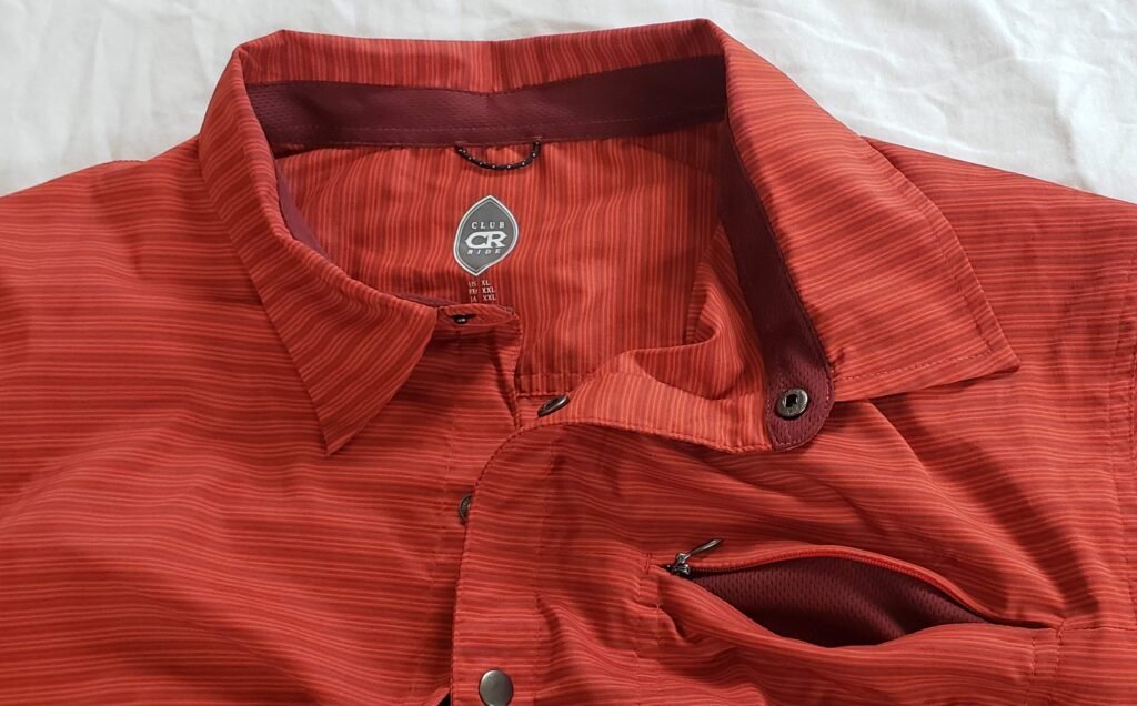
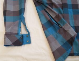
I bought the Club Ride Vibe partly because it was available in a sportier color, but it is still muted enough to wear casually. This shirt is styled to send signals that it is a techy top. Its 97% polyester 3% spandex blend gives it a natural jersey feel. The mesh panels in the underarms aren’t see through, but the contrasting color tells you that this is no ordinary casual shirt. Also noteworthy are two zipped pockets including a low side pocket with a media port and a zipper pull that does not try to hide itself.
The Vibe has a lot of cycling specific features like a slightly longer tail than the front.
Buttons are all actually snaps, and both pockets are zipped.
The back is pretty straightforward, though the logo is reflective.
The low pocket is given away by the zipper pull. A media port in side the pocket lets you route a cable out of the pocket while it is zipped.
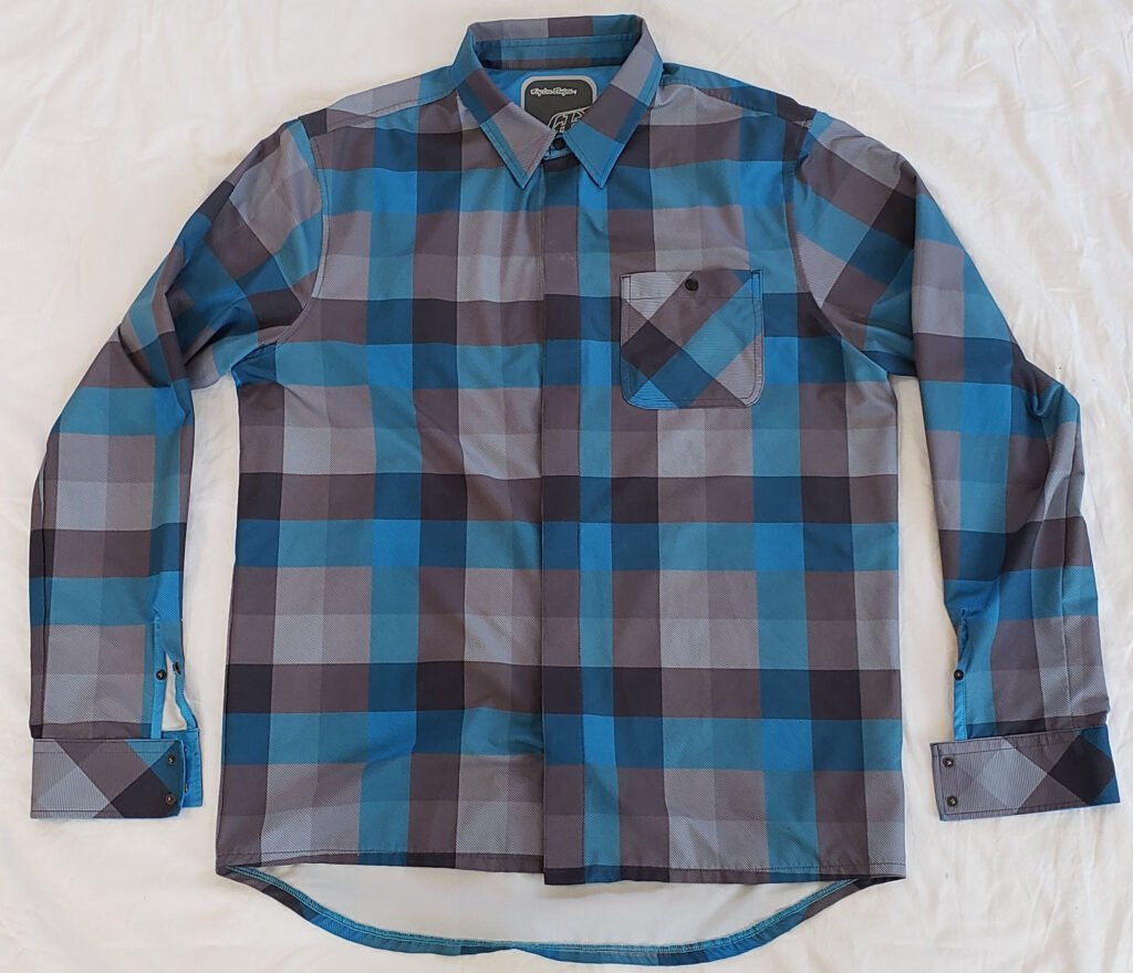
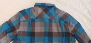
The Troy Lee Designs Grind shirt has a different mission than most shirts here, and like all things TLD it goes about it in it own funky way. All of the other shirts here have woven patterns. The plaids you see are created by the color of the threads in the garment. Not so with the Grind. It is a printed pattern on a very technical fabric of 91% polyester and 9% elastane for lots of stretch. My wife did a double take and spotted the print vs woven pattern right away, but I think it is cool and not everyone will have her eagle eye. It is a warmer shirt, so no vents and it has a heavier fabric, but it works in a wide range of temps due to its extra techy fabric. It uses snaps everywhere but hides most of them under a flap, showing off collar and gauntlet faux buttons for a super classy touch. Arm length was spot on for me for riding, and it is longer in back to keep you from getting a case of biker’s crack. It is tech riding gear disguised as a flannel shirt.
MOST people won’t realize this is actually not a cotton flannel shirt (I was staring at my wife just then). The 45 degree tilt of pocket pattern common with sportswear lately.
More angled plaid across the shoulder. A couple of small pleats allow you to move around on the bike.
There is a single small zipped pocket down here. just the right size for a phone. The cuff treatment puts this shirt over the top.
The Bass Trail Flex is part of Bass’ technical “Propel” series of clothing, something a little unexpected from a mostly shoe company. The blend is 60% cotton, 37% polyester and 3% Lycra. The cotton would usually rule it out completely, but it can handle short commutes fine, and amazingly 3% Lycra makes a big difference. This is a heavier fabric which gives it a sturdy feel and the cut gives you just enough room to be comfortable. Otherwise it is pretty basic, no extra pockets, mesh, vents or snaps.
Just the basics and a sturdy feeling fabric with some useful stretch
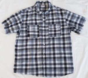
Next up is the Columbia Westerly Winds short sleeve shirt. Columbia turns over styles very quickly, you may not find this exact shirt. It is 100% polyester, thus the “omni wick” moniker. The breast pockets have dual velcro closures so they would hold on to something while you were riding. Another basic but effective shirt that does work on the bike.
It is a lighter fabric good for warmer weather.
Styling and details are basic.
Should you decide to use the breast pockets, they should keep things secure.
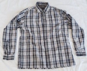
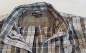
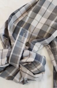
The Eddie Bauer Rainier Long Sleeve is similar to the Columbia in that it may differ a little from what you find when you shop. I wanted a long sleeve to contrast the Troy Lee Grind, and this surely does that with some surprising twists. It is full synthetic at 73% polyester and 27% nylon, featuring a mesh yoke and a big pleat between the shoulders. The breast pocket is flapless, closed with a hidden bit of Velcro on the inside. The tab sleeves are a useful feature, sort of like having arm warmers that you can get rid of without having to figure out where to put them.
Eddie Bauer makes mostly fashion clothes with an outdoorsy image, but they also make some pretty technical clothes like this shirt. It works well, but tends to be a little wrinkly and the cut is slightly long in front.
The mesh is not vented, which makes this a warmer shirt, but it still helps with movement and off the skin comfort.
The tab sleeves are handy. Many days I commute in the morning with the sleeves down and in the afternoon with the sleeves up.
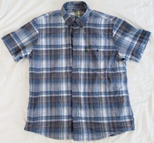
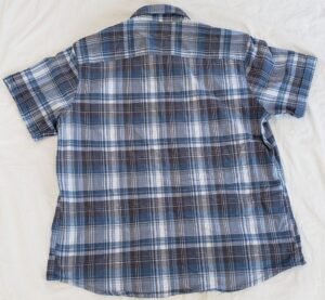
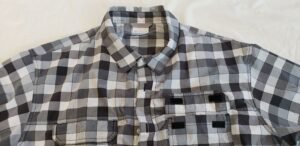
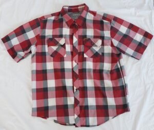
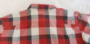
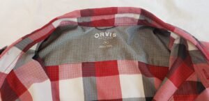
The Orvis Short Sleeve Tech Shirt is 73% nylon 27% polyester. It features a mesh yoke and a couple of pleats across the back. I took this on my recent week-long tour, and the nice thing about this shirt is how well it resists wrinkling. I got it on a blow out price so it also wins the best value award.
The lower hem dips down more than the other shirts here, but was rarely noticeable.
A couple of pleats are nice attention to detail.
The small mesh yoke does help.
Overall these are all worthy shirts for riding. Get a technical fabric cut with room to move and a length that won’t ride up. Add a few nice to have features and you may find that getting off your bike has never been be easier.
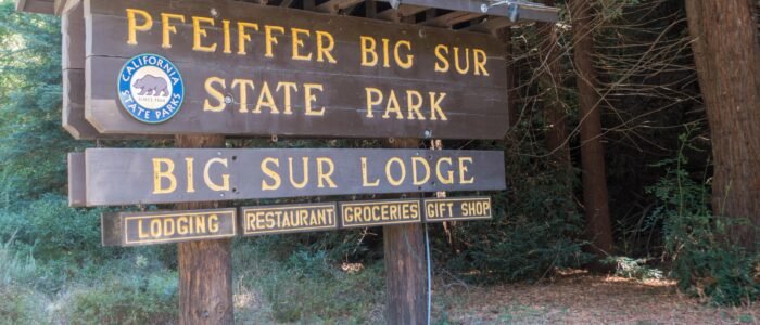
Day three of my tour would be a relatively short ride from Monterey to Pfeiffer Big Sur State Park. I liked that it would be a short ride so it would give me time to take lots of pictures of this very scenic area.
I got a late start because I spent time fraternizing with fellow riders at Veteran’s Park in Monterey. The ride into the park the night before was a nasty climb to the top of a hill. But the ride out of the park and back to Pacific Coast Highway (PCH) still managed to offer more climbing. I had skipped the scenic 17 Mile Drive the day before, but I did ride the last few miles of it that morning.
The two bananas I had at the campground wouldn’t sustain me for long. I stopped early in the day at the last plaza offering services until I arrived in Big Sur later that day. I stop at that plaza every time I pass by, no matter my mode of travel, be it by car, motorcycle, or bicycle. The road around it was under construction, and it made ingress and egress by bike a little interesting. I found a cute breakfast place where the host seated me near an outlet so I could charge all of my accessories while I ate. The solar panel I brought didn’t help much in the heavy cloud cover along the coast.
Café Stravaganza served up a wonderful and welcome hot breakfast, which was a nice upgrade from two bananas, to say the least.
The useless solar panels made me realize that my attitude toward the weather had changed. My mood used to depend on it. If I did not get sunny, calm, temperate weather, I was disappointed. But on this trip, I ran into a lot of cloudy, damp weather, albeit no rain. And it did not put a damper on my spirits (pun intended). It was a very liberating change.
The local Post Office was close by, and I stopped to ship items I didn’t need back home, including my CPAP machine and an extra water bottle mount. You can read about the dramas associated with each of those items in earlier blogs. After a quick stop at a market, I continued south. Leaving that plaza is always a bit dramatic for me. I consider it an outpost, a last bastion of civilization, the beginning of the rugged section of Big Sur, even though you are still in Carmel for a short while and there are good places to get supplies along the coast.
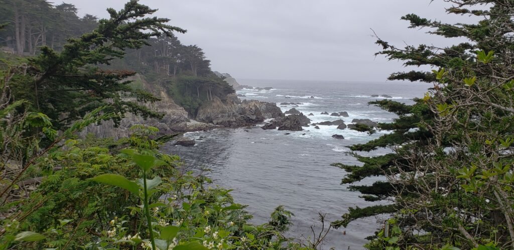
This beach was the last one I would see. After this point, I steadily climbed high above the ocean, and the coastline became very rocky.Peering through the trees, I could see that this cove is circled by beautiful homes set among the rocky cliffs.
PCH south of Carmel had less room on the road for bikes than I remember from my last trip. Signs label the road as a bike route. And California has a relatively new law requiring motorists to give cyclists a minimum of 3 feet as they pass. But I think most people are unaware of the law. And it only helps so much on PCH. California law does not allow drivers to cross the double yellow line to give cyclists that space; instead, it instructs drivers to slow down. On much of the coast, there is no room to give cyclists that much space in the lane; there is nearly always a double yellow line, and almost no one slows down. So it was pretty much business as usual, dicing it up with cars.
Traffic was light, but I had hoped the closure on PCH farther south would reduce traffic more than it did. The number of cars did taper off as I went, and I was thankful for it. By traveling before Memorial Day, the number of large recreational vehicles (RVs) was also very low. RVs on that road can be pretty exciting for cyclists.
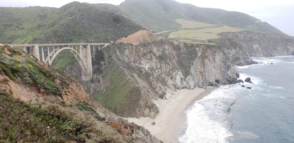
The vistas grew as I continued along the Big Sur coast.Fishing boats like the one on the left made their way along the rugged coastal shore.Inlets like this were from streams and canyons that formed in the coastal hills and spilled out into the ocean.A look at the coast ahead.The iconic Bixby Creek Bridge. If there is one landmark that represents the Big Sur coast, this would be it. There are others tied for second place, all very close.My bike needed a rest after all of the rolling hills of PCH. Unfortunately, I gave it rest on its rear derailleur. It was unharmed, though.
I have traveled this coast many times by car, motorcycle, and bicycle. It has been captured countless times in photographs and every conceivable artistic medium. As I traveled along the road, I felt the surreal sensation of moving through a living painting or sculpture, becoming part of the art myself. I imagined the hills rendered in brush strokes, the road portrayed in stippling, or the ocean as a large glass sculpture. I pictured myself in the third person, portrayed in the same media as my surroundings: the structure of bridges becoming rough welded brass, captured in perfectly lit black-and-white photography, or made abstract in watercolor. I have never seen cyclists traveling this road rendered artistically: they are always portrayed with simple photographs. But there must be an art catalog of Big Sur cyclists somewhere.
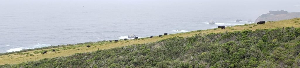
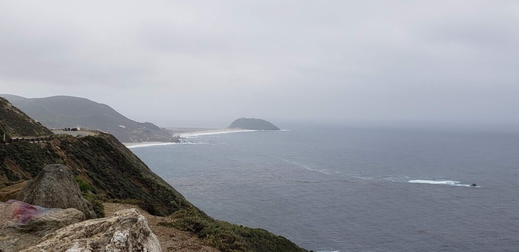
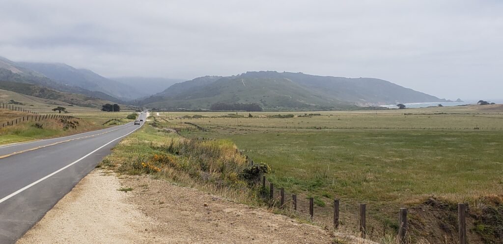
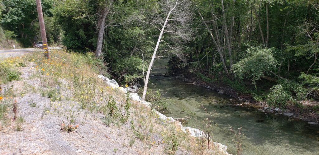
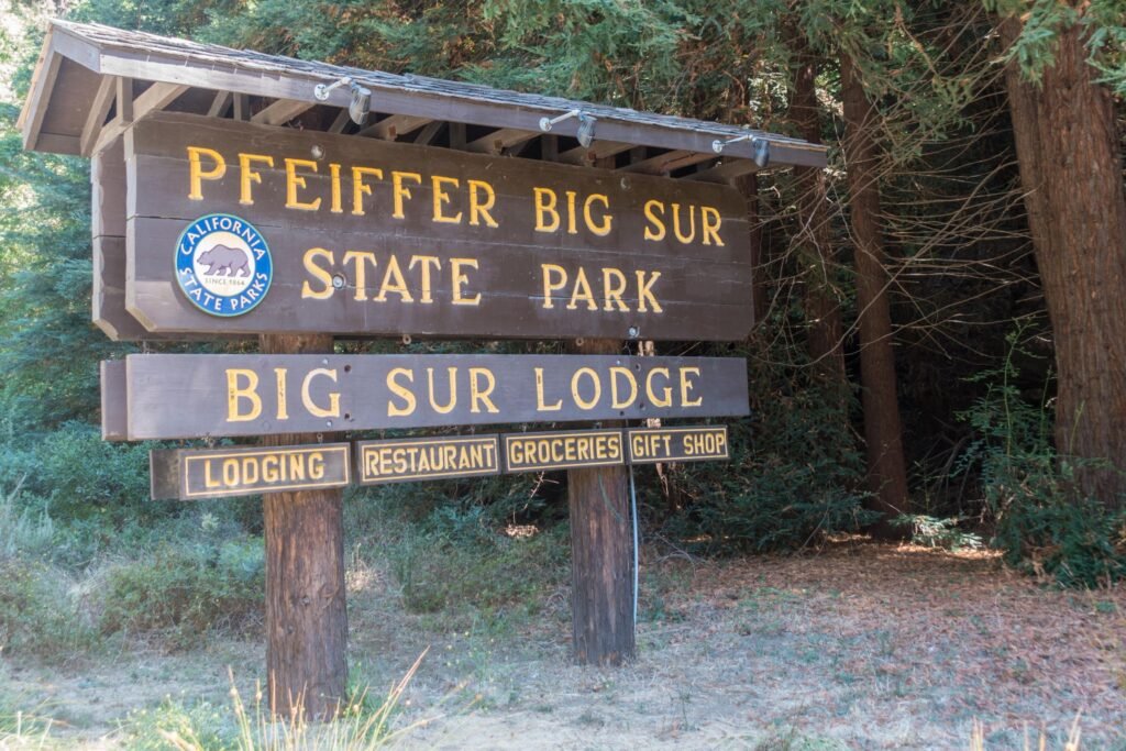
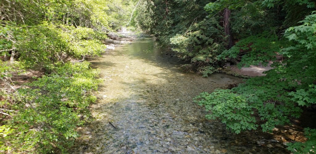
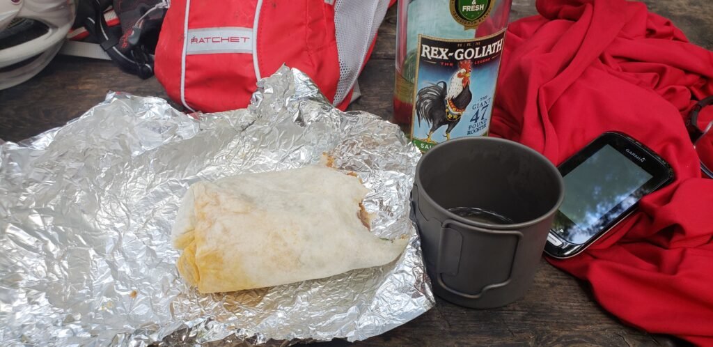
The cows of Big Sur never cease to fascinate me. Of all the places for a cattle ranch, this has to be one of the most unlikely.The hill that stands apart from the coast is Point Sur. It is home to a State Park that is only open for guided tours. It features a lighthouse and part of a former naval station, though a small naval facility was still active when I rode by.This is what I call the gateway to Big Sur from the north. PCH veers inland behind the first row of coastal mountains into the valley where Big Sur Village is nestled.The Big Sur River follows along PCH for a long way. If you are northbound, you might miss it. The rocks and soil filter its clear waters, and the trees crowding its banks create a cool, breezy canopy even on the hottest days.Big Sur River Inn and the shops around it are the first services available after leaving Carmel. They have a general store where I stocked up on wine and other necessities.The sign welcoming me to the campground where I would spend the night.Big Sur River winds its way through the campground, having recovered from years of drought followed by a year of flooding.Not every picture taken in the Big Sur area is a work of art! I made short work of the carnitas wrap from the Inn. I usually take pictures of my meals before I start eating them. But this time my appetite got the best of me, so you get to enjoy this lovely image of a half-eaten wrap. It tells a story nonetheless.
The only other person in the Hike or Bike area was Shane. I had expected to meet fewer cyclists as I got closer to the PCH closure. Shane was going south and turning back. That was an option for him because he lived not far to the north, making it an out-and-back ride. When I think about living in an area I find so special, I have mixed feelings. Would easy access to great experiences turn the exotic into the mundane? Or would my life be elevated by having this kind of experience often? I expect the former, but given the chance I would take the risk that it would be the latter.
I could have spotted Shane as a serious, strong rider even without the yellow shorts. But those clinched it.
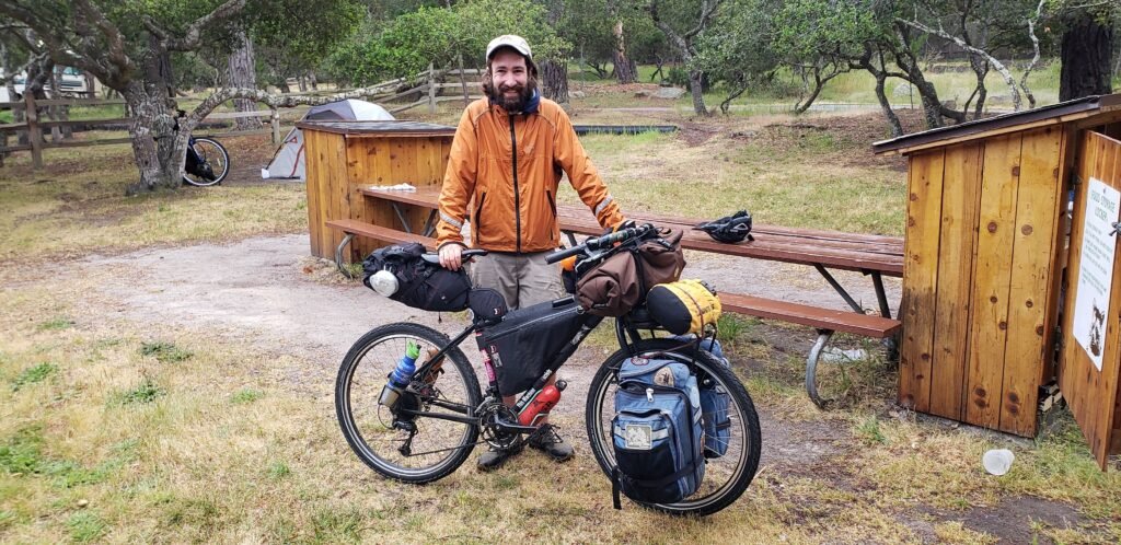
Shane was quiet, but we talked more as we got settled in. He was a very fit rider traveling with a two-wheel utility trailer and wanted to get bags for his bike instead. He had a lot of equipment questions, and I was happy to talk tech about our bikes and gear. My old titanium Airborne Carpe Diem bike and bikepacking style bags garner a lot of attention. I think they also give me some cred so people listen to my advice and usually ask more as I tell them more.
Shane was staying at the park for a couple of days, which seemed like a good idea. Of all the places I might spend extra time on the ride, Big Sur would be on the top of my list, but tied with a few others. I was already beginning to plan a return trip to the coast now that I felt confident in my gear and ability to accommodate my sleep apnea.
Big Sur was thankfully dry. The dampness of Monterey had much of my gear soaking wet. My tent dried out quickly; I set up a clothes line and took care of other housekeeping. My sleep kit and I were getting along well. I fell asleep early and slept hard and long, which I did pretty much every night of my ride. And that was good, because the next day’s ride to Kirk Creek Campground started with a relentless climb out of the valley. But more on that in the next blog.
Loading map…Scroll or tap to load the interactive map
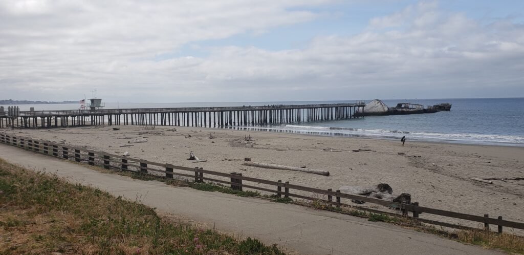
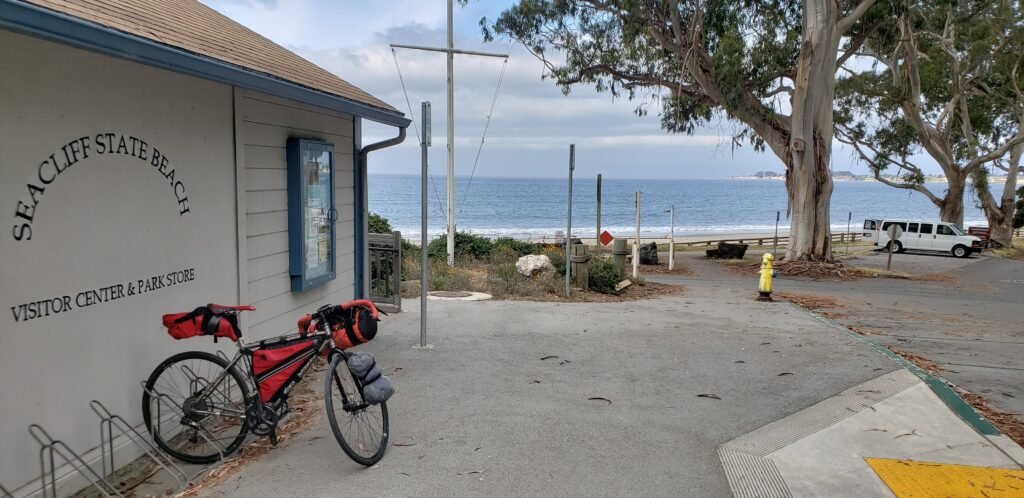
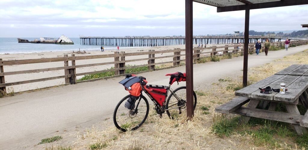
Day two of my trip began with my resolve not to put my head down and hammer out a fast ride, but to take my time and stop to explore what I saw along the way. My first chance to exercise that was only a few miles in as I passed Seacliff State Beach. It featured a pier with a sunken ship at the end. It is a concrete ship that its owners intentionally sank at the end of the pier.
Stopping to have a look at the strange sunken ship and ride the bike trail at Seacliff State Beach.The visitor center never opened while I was there, but it looked interesting and had a nice bike rack.The trail followed the beach and had lots of picnic tables protected by awnings. I could not resist the chance to spend some time at one.
As I left the park, riders from an organized ride joined me. I asked what the event was called, but I couldn’t understand them. Was it the seven-something ride, maybe? I stayed with the ride for a long time. I rode slower than everyone else, which gave me the chance to meet many of them. A few recognized my bikepacking bags and touring setup and gave me a thumbs up or asked where I was going. Our paths finally diverged, and I still had a lot of riding left.
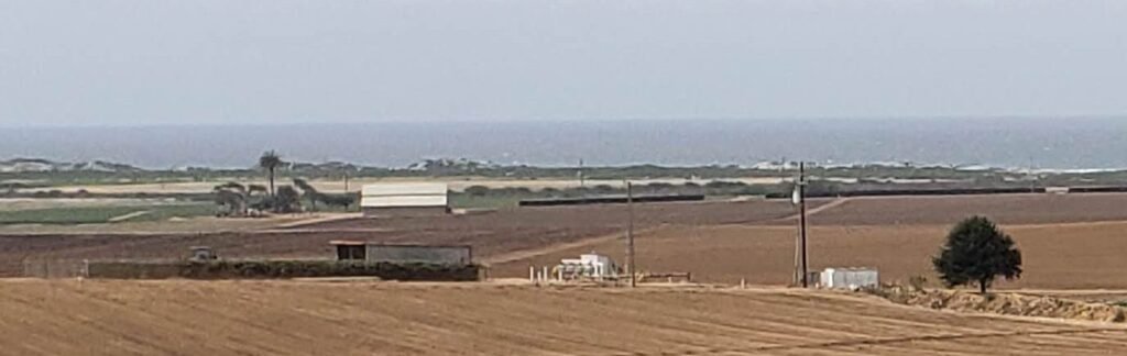
I loved the contrast between the rural farmland and the exotic coastline, with dunes and surf in the distance. My version of farmland comes from growing up in the Midwest, with flatlands and crops as far as the eye could see in all directions. Seeing farmland on the coast with an ocean breeze blowing and set among a hilly landscape was a mix of worlds that did not seem to fit together, yet there they were. Seeing those worlds juxtaposed never stopped amazing me.
I originally planned to make it to Cannery Row for lunch, but my stomach had other ideas, and I needed to eat much earlier. But endless farmland offered little in the way of places to eat.
It is hard to make out in a picture, but the coastal dunes contrasted sharply with the farmland.
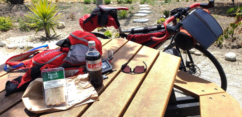
I gave in and stopped at the first fruit stand/gas station I saw. They had a small supply of a lot of things, as markets in the middle of nowhere often do, including enough for lunch. The gas station offered a picnic table on the edge of the asphalt pad as the only place to have lunch. I refused to eat in a gas station parking lot, especially when my original plans were to eat somewhere nice. The nice woman at the counter told me there was a place with some picnic tables a few miles down the road.
I don’t know which place she meant, because a few miles down the road was the lovely city of Moss Landing, and it offered many scenic spots to enjoy lunch. Highway 1 returned to the coast in this area, where an ecosystem called a slough begins. Like a coastal swamp, it is a delightful meeting of dunes, ocean surf, inland waterways, unique foliage, and marine mammals. It has its very own distinct exotic beauty among the many places I saw on my ride. I found a place near a marina to pull over and eat lunch.
The ocean meanders inland at Moss Landing, protected by coastal dunes, making a very scenic locale for marinas.It wasn’t the gourmet lunch I had planned, but I made changes that let me appreciate the places I came upon unexpectedly.
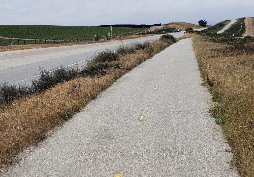
From Moss Landing, the bike route turned inland again, and the coastal winds picked up. Sometimes a little in my favor, sometimes a bit of a headwind, they were nearly always from the side. And when the route turned directly into them, my pace slowed quite a bit, but thankfully that didn’t happen much. The route into Monterey turned into a dedicated bike path starting way outside of town, seemingly in the middle of nowhere, which was impressive and wonderful to ride.
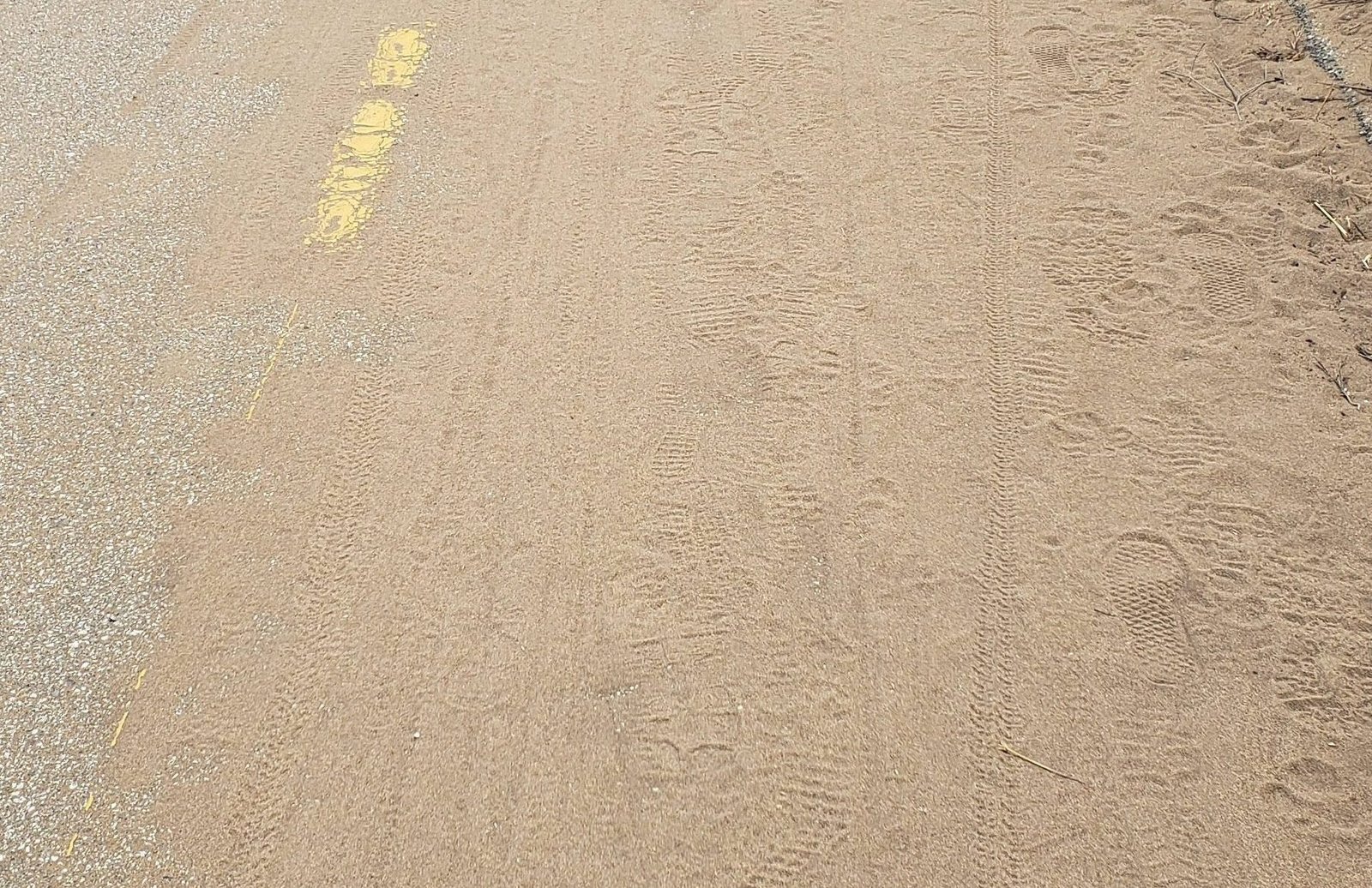
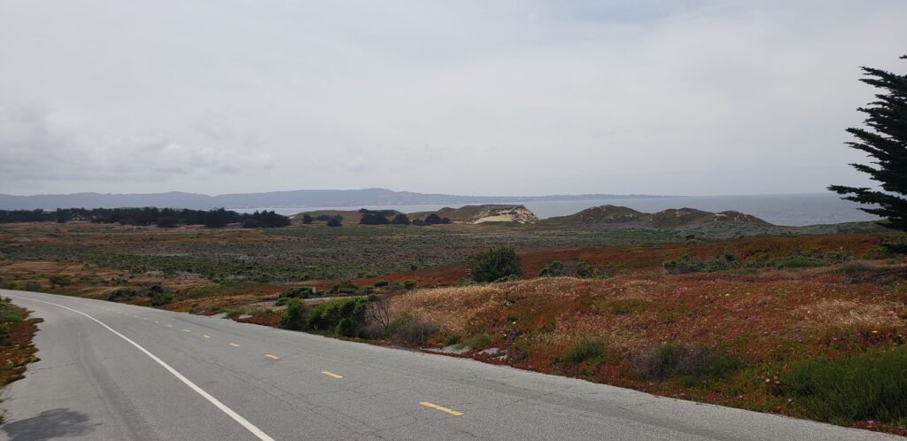
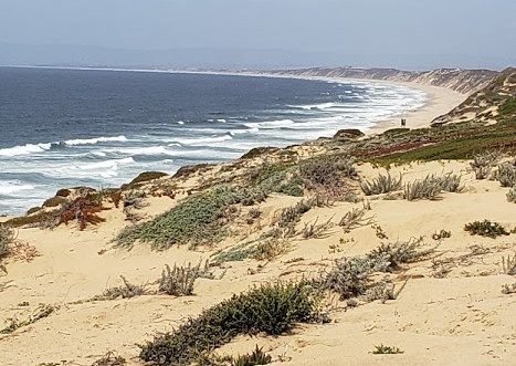
The bike route appeared unexpectedly in the middle of farm country and seemed to go nowhere and be unused.A closer look at the wind-swept areas of sand revealed that the trail had many users, even recently.The route into Monterey continued on a bike path and offered delightful views of the shifting coastal dunes and delicate ecosystem. That is Monterey Bay in the distance.The bike trail crests the dunes north of Monterey, affording big views of the coast and the bay.The colors of the plants, sand, ocean, and sky are characteristic of this area. And the coastal winds were literally in my face as I took it all in.
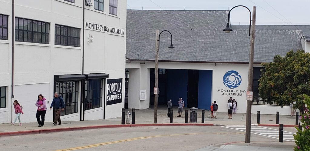
The path turned from a remote coastal route into a heavily traveled urban trail pretty suddenly. And what a great route it was. It took me past all the main sights you might want to see in Monterey along the coast, including Cannery Row, the Monterey Bay Aquarium, and, of course, Light and Motion bicycle lighting company. I received no promotional fees for this blog. But I wouldn’t object if I did.
I have been to this aquarium many times. It alone is worth the visit to Monterey.
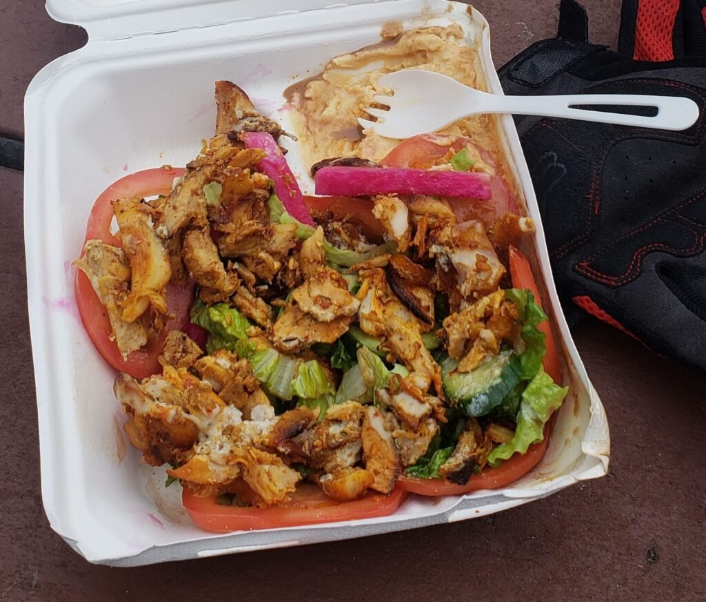
I decided not to cook, and I had a hankering for a big deli sandwich. After searching for delis, I decided on International Deli in Monterey. When I got there, I discovered it was an Iraqi deli, not the sandwich kind of deli I had in mind, but it had good reviews and looked wonderful, so I rolled with it. I ordered the chicken shawarma because it looked great. I could not help but laugh at myself for feeling like Ironman. I hate it when people make movie references I don’t know, so search for Avengers shawarma if you need to. Once again, I had crammed too much in the day, so I decided to trim the 17-mile drive from my schedule. I packed my shawarma away and made the big climb to Veteran’s Park so I could enjoy it at my campsite. If you do the ride, make sure you fit the 17-mile drive into your schedule. I have seen it before, so I was OK.
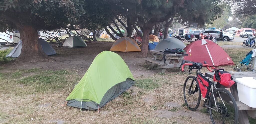
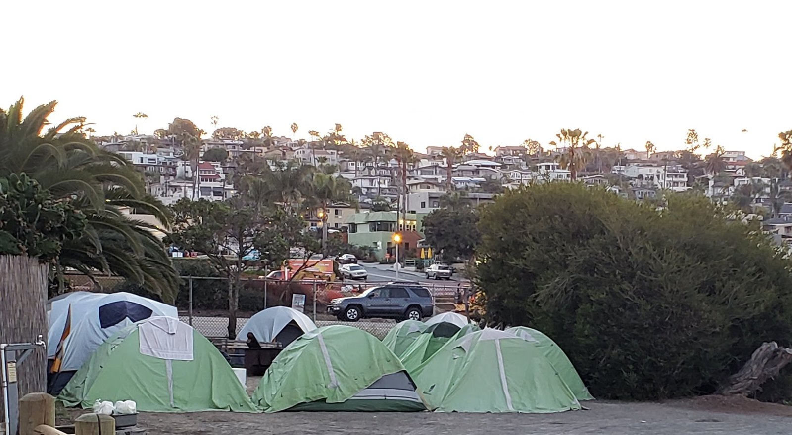
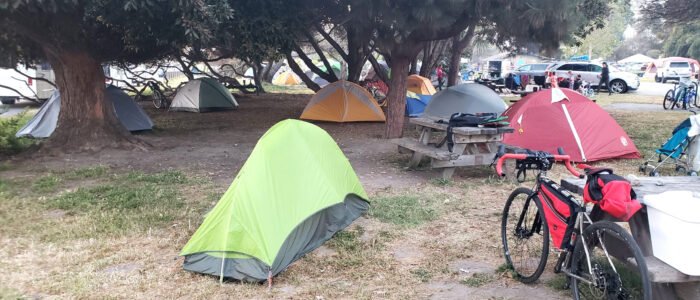
When I got to the campground, I saw lots of biker tents but no bikers. Some tents did have bikes next to them. It looked creepily abandoned. “Are they all homeless?” I mused to myself, but I knew better. I set up camp and enjoyed the chicken shawarma. I had asked for some extra veggies, and they had obliged. Even though it had gotten tossed around a lot on the way to the campground, it was still wonderful.
I had about as much energy as the Avengers did when they ate their shawarma.
I settled in, and it got dark early in the heavy overcast weather. The only lights I traveled with were a headlamp and my phone. The headlamp had an unexpected effect: the eyes of any critters looking at you reflect at you eerily. But, being critters, they don’t realize this, and think they are being super stealthy and you can’t see them. While walking to the showers after dark, I had a creature of unknown species following me with its gaze for a while. It made me uncomfortable, and I even tried to shoo it away. After amusing myself with a series of strange noises, a good old raspberry noise finally vexed whatever was stalking me, and it scampered away.
I fell asleep hard before 9 pm. I heard some bikers arrive later, and once again my eye mask and earplugs were very helpful. I was hoping to meet them in the morning.
I woke up well rested and realized I was sleeping well with my CPAP substitute breathing aids. This was a great development. I was concerned I wouldn’t be able to sleep well with them and might even have to cut my ride short. But that morning I committed to completing the ride as planned.
It was damp and cold: so damp it looked like it may have rained in the night. But if it did, the noise of the rain on the tent was not enough to wake me. It always amazes me how warm a tent can keep you, even though it is only a couple of thin sheets of nylon. My tent was a lightweight model with very thin nylon, and it still kept me cozy. I stayed in the protection of my vestibule to make myself a cup of coffee while the morning fog cleared up.
There is nothing like enjoying a hot coffee sheltered by your vestibule. Bananas make a great culinary pairing too, BTW
All of us cyclists eventually came out of our tents to say hello. Alex was riding around the PCH closure via a route that included King City. I couldn’t talk him into splitting the shuttle around the mud slide with me. I later encountered him on Facebook. He continued to ride long after my one-week trip ended, posting real-time updates.
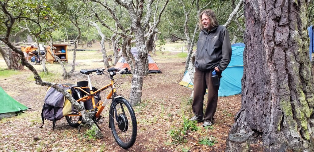
Michael was an eBike enthusiast and, in my own words, a semi-vagabond. He was touring on a utility bike that was his own custom eBike creation. I had experimented with making eBikes a long time ago. I was surprised how literate I still was. Mike and I talked a long time about the state of eBikes. When I told him that I was sleeping consistently without my CPAP machine, he gave me the idea to ship the CPAP back home. I would have probably figured it out myself, but he probably saved me a couple of days of hauling it around.
Thaddeus, a total vagabond by his own admission, also joined us but declined to have his pic taken. I wasn’t sure if Thaddeus was a nickname or not, but his off-the-grid lifestyle was fascinating. Tim, the park ranger, checked in, trying to figure out who hadn’t paid their $6 camp fee.
Alex was opting to take the inland route around the PCH closure.Michael was touring on an eBike, something I have thought about doing, and I have built a similar cargo eBike, so we had a lot to talk about.
I had to tear myself away from the great conversation if I wanted a relaxed ride to Big Sur. I talked as I packed and wished everyone well as the conversations continued. Damp fog had given way to low clouds, and it looked like a great day for a ride.
Loading map…Scroll or tap to load the interactive map
Day one of my tour turned out to have many of the problems I was afraid it might have. But a defining trait of an adventurer is how you deal with the problems that will inevitably happen. If you react by wishing you had luxury accommodations, panicking, or giving up, you are probably not an adventurer. But if you keep your wits about you, fix the problems with whatever duct tape and baling wire you have available, and proceed as best you can with a good attitude, you’re on the right track. You show the traits of a true adventurous spirit, at least according to my not-so-humble opinion.
So where and when did the journey actually begin? It could have been when I stopped riding my touring bike as a commuter and started packing. It could have been before that, when I decided to do the ride. But for the sake of telling the story, let’s say it started in Long Beach, CA. My wife dropped me off at Long Beach Airport, a tiny international airport in the Los Angeles metro area. I had already shipped my bike: it was waiting for me in a box at a FedEx location near my flight destination in San Jose, hopefully not damaged or lost, despite what the tracking information told me. I was carrying a piece of bike luggage, a plastic bag of supplies, and I was wearing my travel/riding clothes and bike shoes. I did not want to deal with luggage, and my bike shoes with cleats were the only footwear I was bringing.
So when does a trip actually begin? This looks like a good time and place to call it.
One item in my carry-on luggage was a CPAP machine. Without it, I don’t get deep sleep and eventually end up feeling like I have not been sleeping at all. I had hoped to use a substitute called Provent, which are fancy bandages to cover your nostrils. Carrying them instead of a big CPAP machine would have been a big win. But I tried the Provents before the ride, and they didn’t work for me like they used to. I was disappointed to have to carry the bulky machine and battery, but I had done it before on a bike tour. And I brought the Provents anyway.
But the problems that swirled around the CPAP machine had just started. After boarding the plane and getting comfortable, I mentally went over my checklist of what I had packed for the umpteenth time. I realized that I had forgotten one of the cables needed to run the CPAP machine. It was a small disaster. The pile of hardware I had packed to run the CPAP was useless without that cable. I started breaking down the situation. There was no way to buy the cable I needed. Maybe I could make a replacement cable myself. I looked for electronics supply stores along my route. There were lots of permanently closed Radio Shack locations. I found a Fry’s Electronics, but there was no guarantee they would have the parts I needed to fabricate a replacement cable even after shopping them online.
I tried to relax and take things one step at a time so I wouldn’t get into such a terrible mood that I couldn’t think clearly or enjoy whatever the trip turned into. The next point on the trip where I could do anything about this would be at the electronics store. I had done all I could for now. I managed to stop obsessing on the problem and enjoy the flight.
On the ground, I called a Lyft ride that turned out to be free after I applied the discount the airline gave me. My driver dropped me off at the FedEx location, where my undamaged bike was. The small victory improved my attitude.
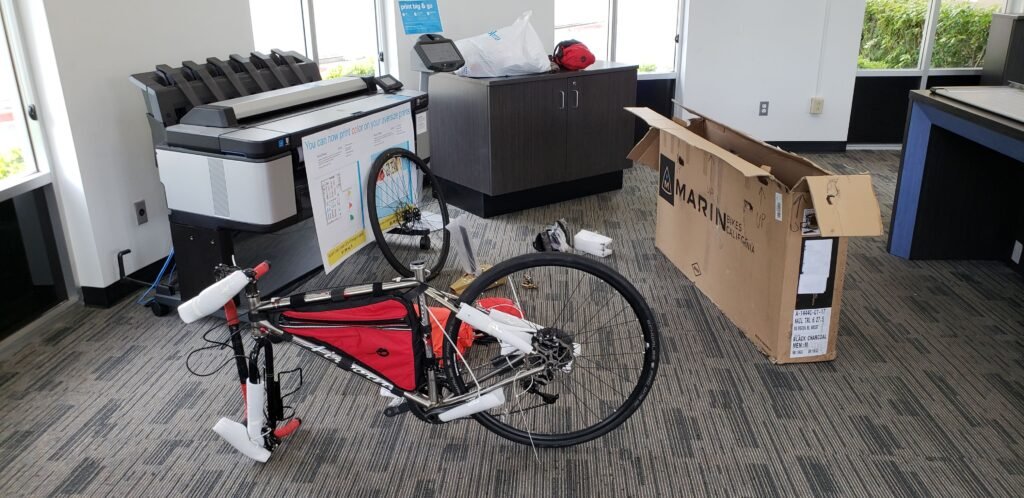
The packing job I did on my bike worked, and my bike arrived no worse for wear.
I used the packing area as a bike assembly area. While there, a fellow rider introduced himself. He told me he was planning to bicycle tour across Cambodia, Thailand, Australia, and New Zealand. He noticed my CPAP and told me he had a friend who rode and needed to use one. Seeing me travel with a CPAP meant that he would not accept his friend’s excuse about not traveling with him because of his CPAP. did not go into detail about the issue I was having with my machine for both our sakes. It took me a while, but I was ready to go.
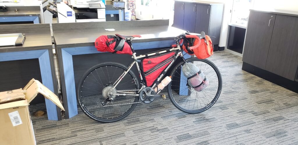
Good to go. Almost. Note the water bottle problem. If you miss it, it is understandable. did.
Another small issue cropped up as I pushed the bike across the store. had decided at the last minute to fit a water bottle cage and bottle on the bottom of my down tube. The problem is that only the smallest water bottles fit in that spot. The bottle I brought rubbed my front tire. After some consideration, I decided to throw the water bottle out. It was frustrating, but I was already dealing with enough issues, and the idea of packing a water bottle in my luggage to avoid throwing it out was too much to wrestle with at the moment.
But the problems just kept coming. stood over my bike, got started, and turned on the GPS to load my route for the day. scrolled through the list of routes I had carefully crafted for each day. They were all there, except for my route for that day. had made some small last-minute changes; I must have deleted it in my GPS without loading its replacement. And the day’s route was a tangle of interconnecting urban roads and paths, not a simple “ride down Highway 1.” But I had a backup plan: I used my phone as my GPS. The phone used a lot of battery power when in navigation mode, so I might have to charge it mid-day, but I could deal with that.
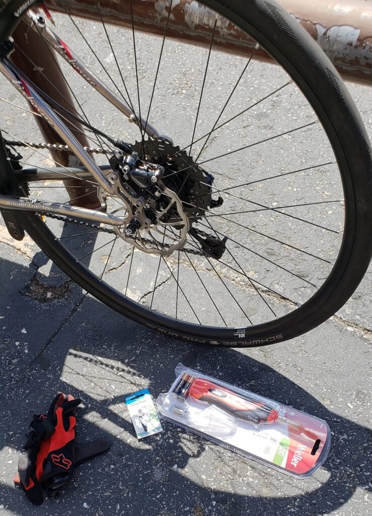
The electronics store was only a few blocks away. It took a while to find and select the odd parts. decided to wait until I was in the campground with everything unpacked to make the cable.
The pieces I hoped would get my CPAP working.
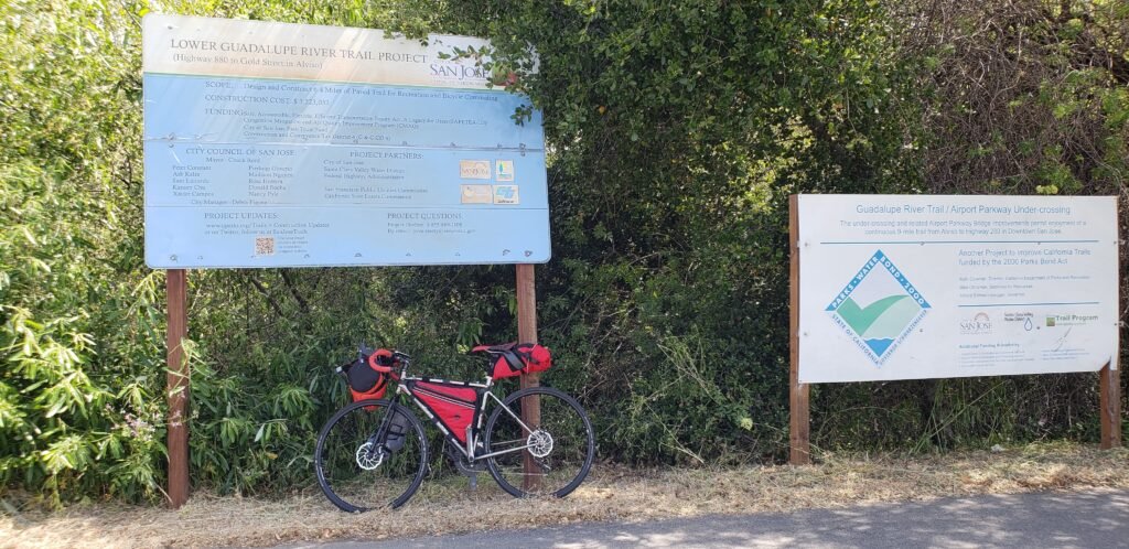
The weather was beautiful: sunny and cool. was excited by the first part of the ride because it was on a network of dedicated urban bike paths: Guadalupe River Trail and Los Gatos Creek Trail.
I had to ride a couple of miles back to the airport to get on the Guadalupe Trail. Mineta San Jose International Airport would be a great destination if you checked your bike in as luggage.
Navigating by phone was a bit of a pain. I did not have a good way to mount it where I could see it. would look at it to get the next few turns, ride that far, then look at it again. I made a few wrong turns that way but nothing terrible. On the main bike paths, I just followed the signed route.
While riding the bike paths, especially through San Jose, I was completely amazed at the pedestrian traffic. There was a lot of it, but the crazy part was phone usage. Being as rational as possible about it, I estimate that out of hundreds of pedestrians I saw in the congested sections of San Jose, 95% of them were walking with their eyes down, locked on their phones, and that includes individuals, groups, people with dogs on leashes, etc. They were completely unaware of my presence on a trail where bikes were legal; I had to swerve all over the place to avoid them, often off of the trail and on the grass. It was a gorgeous sunny day, and I suspect most were probably annoyed by the sun causing glare on their screens. We need to identify a thing called “distracted walking” on multi-use trails. It is dangerous and rude. It forces other trail users to deal with whatever random things a distracted walker is doing. It is hard to deal with because they don’t know what they are doing themselves. was happy to get out of the crowded section of San Jose.
My route took me along a dirt section of Las Gatos Creek Trail. Later, I realized I could have avoided much of it by riding the long way around a reservoir, but even my narrow 28c tires were OK there.
My failure to follow my GPS directions eventually led to a disastrous error. While riding a frontage road along Highway 17, I decided the directions said to enter Highway 17 south at Bear Creek Road. This was an error of epic proportions. Highway 17 is a freeway with no shoulder for much of it, is extremely narrow, has high-speed traffic, and has a concrete wall divider between the oncoming lanes. entered a section where I was climbing and moving slowly. I have ridden freeways before, even not-so-legal sections, but nothing like this. After riding for about a mile and a half with cars honking at me like crazy, I pulled into a turnout and looked at my GPS. In a word, I was screwed. couldn’t cross the road and go back the way I came because of the concrete wall and the sheer amount of traffic. could not go back the way I came because I would be riding head-on into oncoming traffic with no shoulder. There was no way out of the turnout I was in: no roads or trails led away from it. nd the route I wanted was back the way I came. Going forward would take me far off my route, even if I wanted to brave it, which I did not.
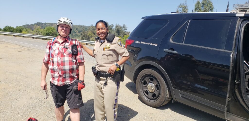
As I looked around the edges of the turnout for dirt paths and didn’t find one, I saw a highway patrol drive by. I slowly realized that they would be my only way out. waited a while for another one to show up, but no luck. I finally gave in and called for rescue. described my predicament to 911, and in relatively short order I met Officer Booker (that is her real name; I am honestly not making that up), who showed up in a large SUV with room for my bike, just as I had requested. After telling her how happy I was to see her and thanking her profusely, I told her that I just wanted off of that road; anywhere would do. also told her I really just wanted back on the other side of the road to pick up where I left off. left the turnout, and I expected her to take the next exit and wish me luck. But she made a pretty difficult U-turn on the road where the concrete wall had a gap and returned me to right where I said I wanted. I got no ticket for riding a bicycle on the freeway (they may have actually been legal there; the sign only said no pedestrians), no lectures about bicycle safety, none of that. She even posed for a picture. I pulled my bike out, unable to thank her enough, and continued on the correct route. Mostly anyway.
Officer Booker saved me from the horrors of route 17 and my own bad navigating udos to her! Notice our coordinated shoulder pockets.
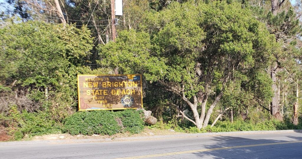
My route continued on Old Santa Cruz Highway, Summit Road, and Soquel Santa Cruz Road, which included a nice climb through coastal redwoods and a descent to the coast and my urban coastal campground destination, New Brighton State Beach. The few small wrong turns I made paled in comparison to my Highway 17 debacle. Due to my shenanigans, I had to cut the ride short. I had planned a loop around Santa Cruz. Maybe next time.
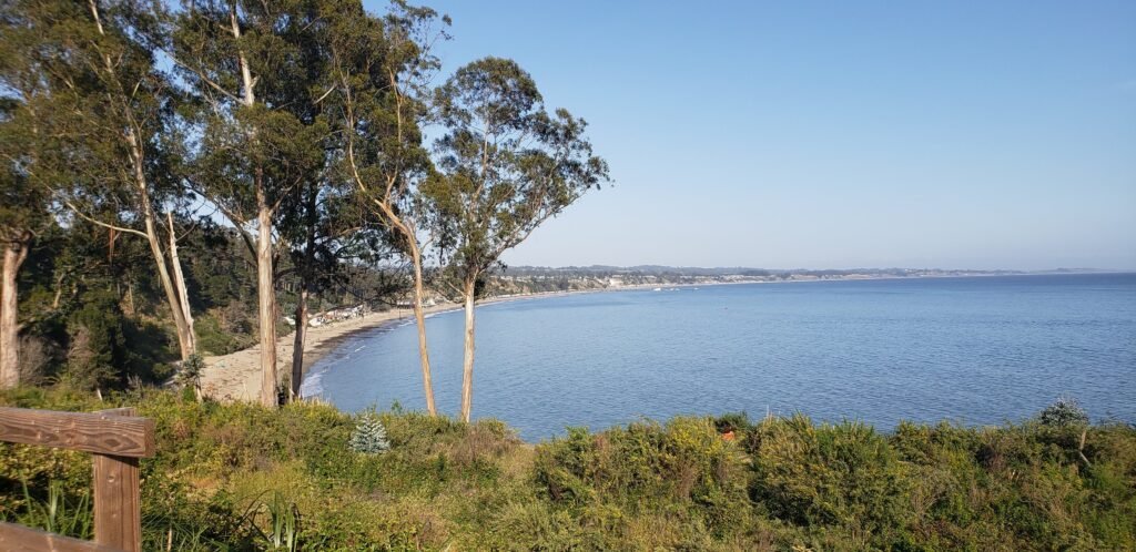
New Brighton is a campground with an ocean view, like most of the places I stayed.
I hoped to fix my issues as I relaxed at my campsite.
Once at the campground, I unpacked only what I needed so I could work on the CPAP cable with as much daylight as possible. But it wasn’t to be. The cheesy battery-powered soldering iron I bought could not generate enough heat to melt butter, let alone solder. As a test, I touched the battery wires to the plug I got to fit the CPAP to see if it would power it up anyway. But no luck. The plug I bought fit the CPAP, but it still wasn’t the right connector, which wasn’t surprising given the nature of medical equipment. I gave up on the idea of fixing the CPAP and decided to try the Provents one more night. If they didn’t work, I would ride back to Salinas, cut the trip short, and catch a train home from there. I did not want to ride for days with effectively no sleep; that would be too dangerous.
When I finally looked up from my CPAP project, Johan from Belgium greeted me and offered me some of his strawberries, which I happily accepted. I later offered Johan some sliced cucumber. I think I got the better end of the trade, but it was all I had to offer. Johan had flown into Los Angeles and was on his way to San Francisco, then on to Yosemite, the eastern Sierras, and many other great California destinations before returning to L.A. to fly home. I tried to talk him into adding Death Valley to his route; it would have been a good time of year, but the idea made him pretty uncomfortable, and he didn’t want to give up anything else on his already full schedule.
Johan from Belgium was riding a big loop around California
John was also at the Hike or Bike site. I did not see him until the next morning, but I should have gotten up to see him in the middle of the night. That night I tried sleeping with the Provents. I woke up with one no longer attached. R ther than give up and go back to “sleep” without it, I forced myself to get up and replace the one that fell off. That improved things a lot for me. I slept so well that I barely woke up when the campsite was overrun by bright vehicle headlights and guys walking around talking and using what sounded like police radios.
The next morning, feeling well rested, I met John. He had a bloody gauze wrap on his knee. He had an accident with a car the night before that was his own fault. The police had come by the campground in the middle of the night to return his bike to him. J hn worked at Specialized bike company in nearby Morgan Hill, so naturally we talked about his accident, riding, and bikes for a long time.
New Brighton, like many urban campgrounds, has strict limits on hike-or-bike sites. You can only stay one night, and you have to leave by 9:00 am. This helps control the homeless problem. I support such measures; it allows the park to keep offering Hike or Bike sites. A homeless shelter is very different from a campground.
Because of all my carousing with the locals, I pushed a little past the 9:00 departure time. And sure enough, the very friendly camp host who was watching our schedules stopped by. But as I said, I support such efforts. Thankfully, I had the route for day 2 in my GPS, as expected, and a good night’s sleep behind me. Maybe this trip would work out OK after all.
Loading map…Scroll or tap to load the interactive map
In May 2017, the Mud Creek Slide came crashing down on Pacific Coast Highway (PCH) in California, turning an 80-mile section of highway with no exits into two separate 10-mile and 50-mile dead-ends. As bad as that sounds, the details made it even worse. Additional slides and a bridge failure isolated the tiny and beautiful village of Big Sur. Months later, after a flurry of construction and repair, all the damage on PCH except Mud Creek was repaired.
But in the midst of disaster was also opportunity. I realized that the closure would dramatically reduce vehicle traffic along the coast, making a potentially good situation for cyclists riding the area. But there was the matter of circumventing literally a million tons of earth burying the road 40 feet deep. Add the construction equipment and workers busy rebuilding the road, and it posed a formidable obstacle for a lone rider on a bicycle. I kept up with the situation online. Reports said cyclists crossed the slide at night, defying the closure and the law. While I wanted to ride the route, a midnight poach in the dark by myself was not for me. I found a local tour company called Central Coast Outdoors that shuttled cyclists around the closure. The price seemed steep, but it was way cheaper than Uber for the same thing. I thought about it for a few days and decided the opportunity to ride the coast with low traffic was worth it, so I began preparations.
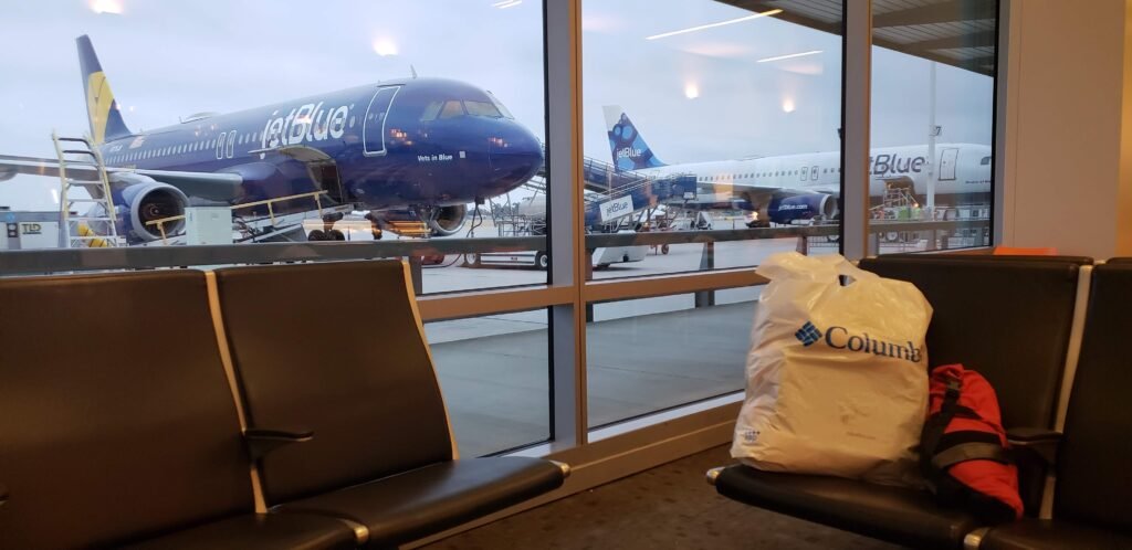
I booked a flight on JetBlue to San Jose and planned to ship my bike to a nearby FedEx Office using bikeflights.com. I busted out my favorite bike ride planning site, ridewithgps.com, and began planning my routes for each day. I reserved a room for one night at the Radisson in Santa Maria with plans and gear to camp every other night of a 9-day, 8-night journey. I reserved a site at the only campground that needed it. All of my other camping would be at California State Park Hike-or-Bike sites, which were all first come / first served / no reservation sites. And finally, I reserved an Amtrak ride home that allowed people to bring their bikes on the train. BTW, I am not sponsored by anyone, but I do like to share resources I find useful for other riders or anyone else interested.
JetBlue is a great little airline and Long Beach Airport is a great little airport.
I bike toured PCH on a similar trip many years ago. While the trip was great, I realized afterward that I had focused on the distance and speed of my riding. That is one way to approach cycle touring, to be sure. But this time, I decided to focus instead on relaxing, sightseeing, and getting to know fellow travelers. So, as I planned each day’s ride for this trip, I reduced the mileage I rode each day compared to my first trip.
I made sure to stop and take in the sightsI got to know the people I met along the way.I decided that food pics were an important part of the trip.Stopping to take pics took a lot of time, but it was worth it.
To be honest, I overprepared for the trip. I was so excited that I spent too many hours poring over routes and fine-tuning them, reading updates online, and anticipating the trip details. By overpreparing, I mean that I was a little burned out before I even started riding. I was beginning to doubt whether I would enjoy the ride at all. Plus there were the normal pre-ride jitters and worries. Would I get a cold just before or during the ride? What if my frame cracked? Would I forget something critical? Was I in good enough condition for such a ride?
Is it possible to take too many pictures of the Big Sur coast?
I did get a few fellow travelers to snap a pic of me, too.
Of course, I went ahead with the ride, starting on the Saturday the week before Memorial Day 2018 and riding through to the following Sunday of Memorial Day weekend. Day 1 presented me with more than its fair share of problems. But I overcame them all, found myself well able to handle the rigors of daily riding, and went on to have a great trip.
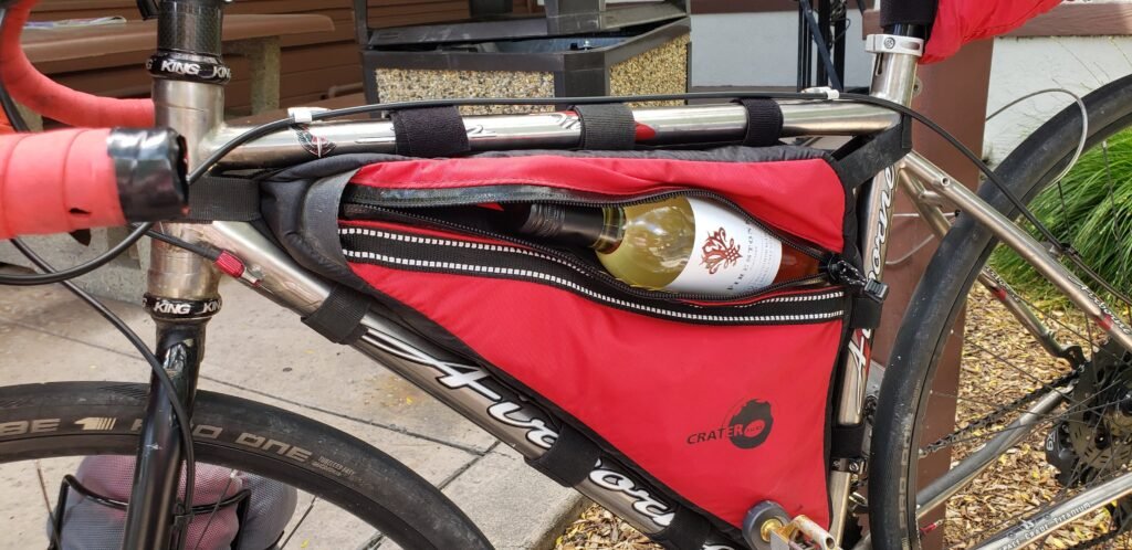
You could make a tour of the art along the coast if you wanted to.No, you cannot take too many pictures of the meeting of land and sea along this coast.San Luis Obispo is one of dozens of great towns that dot the ride.Rolling hills that are part of the growing wine country in this region.Cyclists seem to be beer drinkers mostly. But I prefer grape-based libations most of the time.
Actually, “great trip” does not begin to capture what the trip became. I had days of riding in idyllic conditions, met wonderful people with great stories to tell, and I “rode myself into shape,” as the expression goes, and felt stronger and stronger as the days passed.
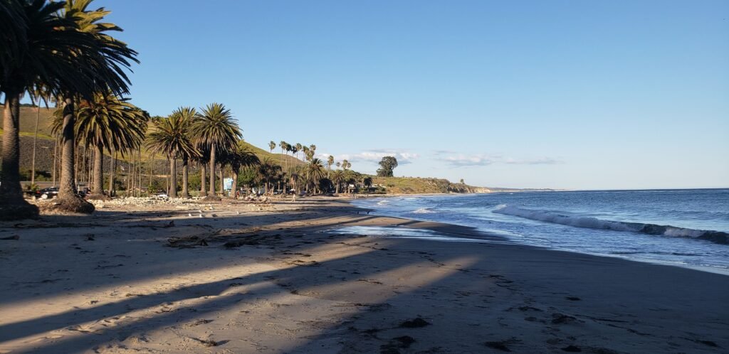
Many of the campgrounds were next to the beach.The last days of the ride were Memorial Day weekend, with busy campgrounds and many travelers.Riders like these, traveling the country and the world, were not uncommon.
What started as a trip where I worried I might quit early turned into a ride I was sad to see end. In the days after the ride, I felt like I was living in an afterglow, my mind drifting back to daydreams of the ride, already planning the next tour, and having a hard time focusing on my daily responsibilities.
As far as my blog goes, in the coming days and weeks I will post a blog for each day of the trip, documenting my route and experiences in more detail. I hope they will be helpful to others who ride the route. But I also hope to capture the experience for me forever, so I can recall the feelings of the ride and daydream about a once-in-a-lifetime experience over and over again.
I have been planning and preparing for a week-long tour of PCH (Pacific Coast Highway) here in California, and this overnighter ride is, among other things, a shakedown for the tour. I have spent time shrinking my load to a minimum size and weight. Most tourers err on the side of packing too much if you read their blogs and social media posts. My weight weenie tendencies run deep: I wanted to make sure I did not eliminate too much. In the end I was happy with what I decided to pack. So much so that I think I will dedicate separate posts to gear and packing reviews.
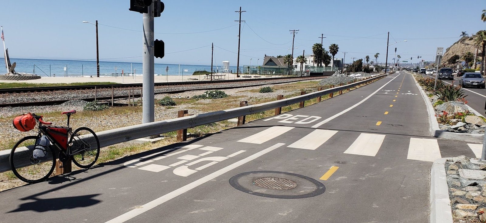
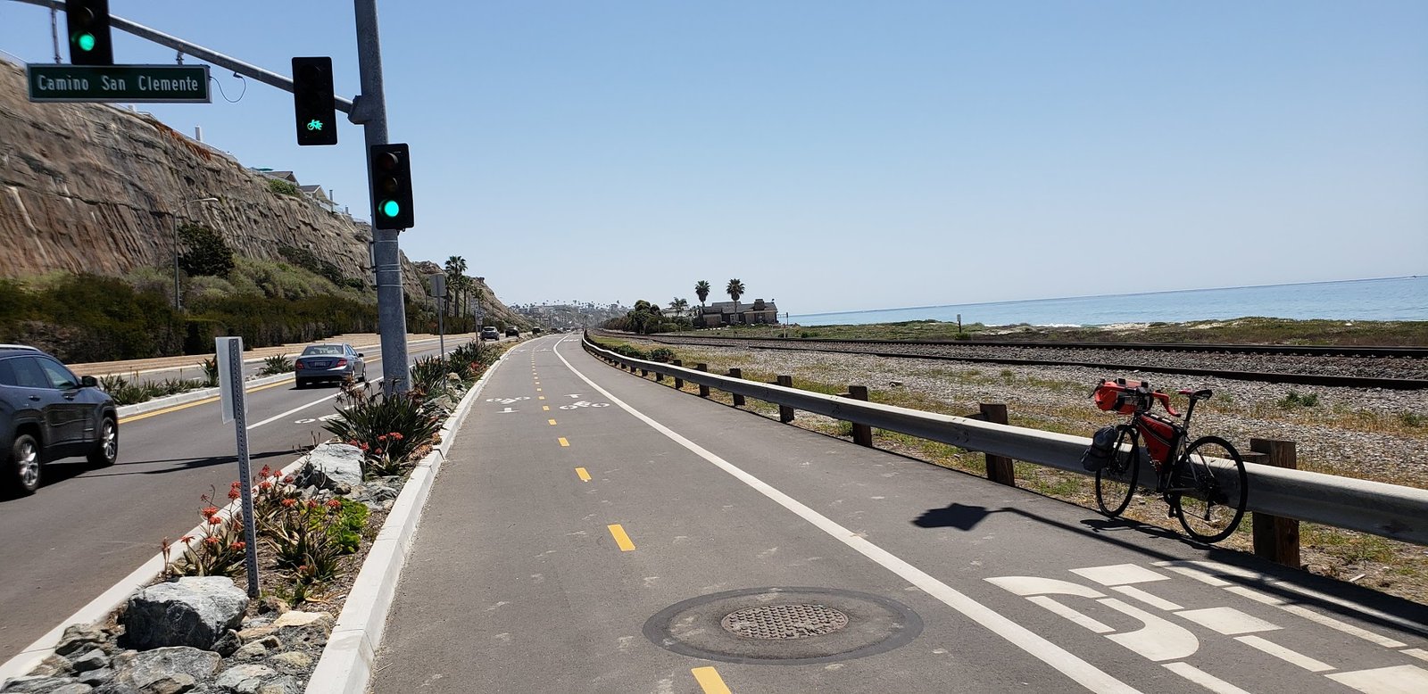
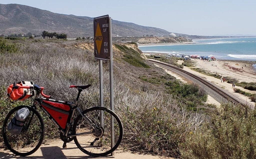
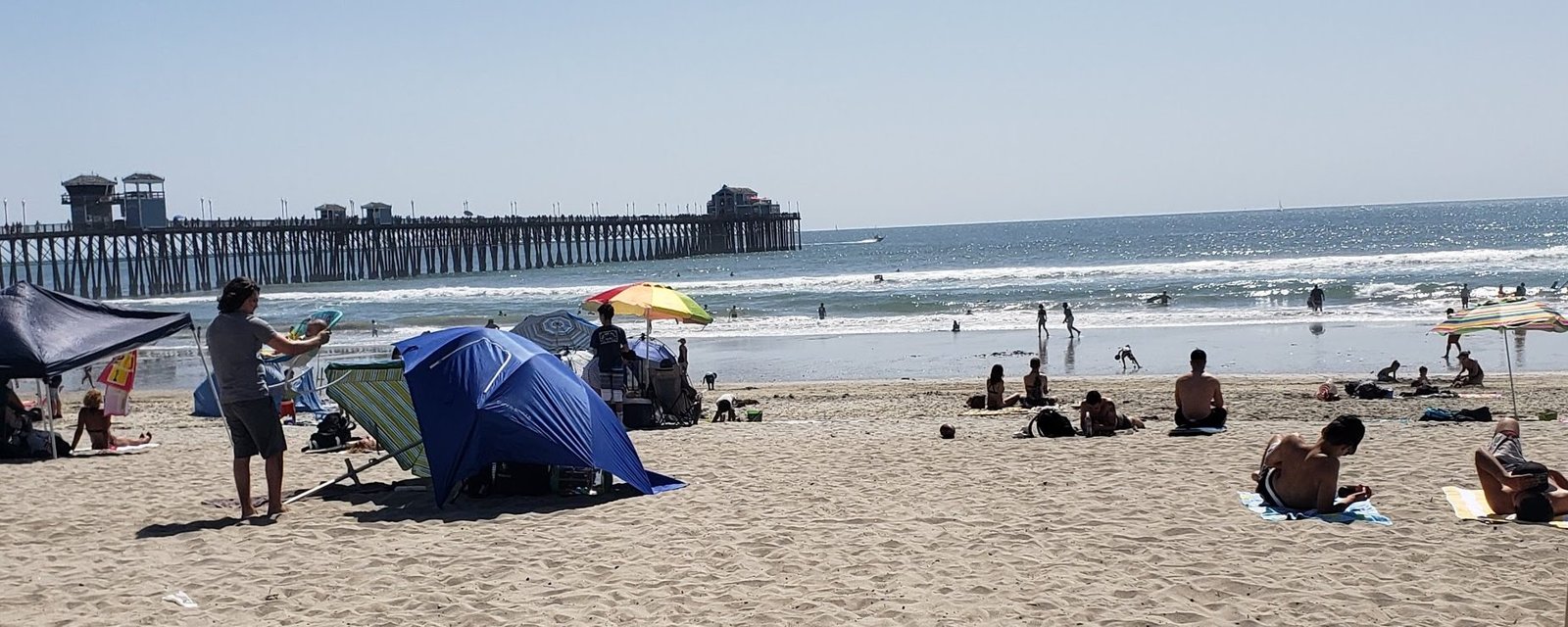
San Clemente, the beginning and end of my ride, offers one of the best stretches of protected coast highway bike trail anywhere, which ends abruptly as you go south. But the ride through town is overall very nice and beach town-ey.
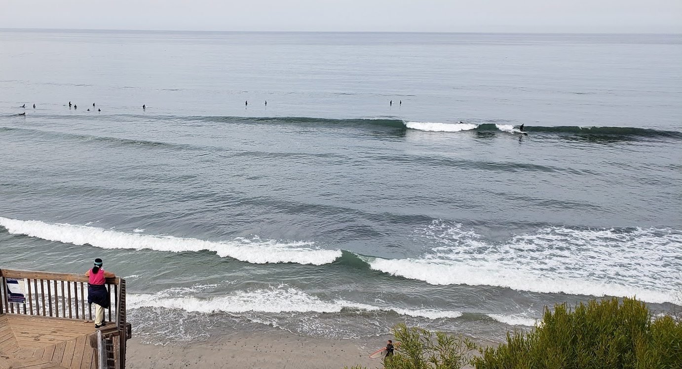
My route took me past the fabled Trestles surf area, which was hosting some big surfing event and warranted a slightly closer look.
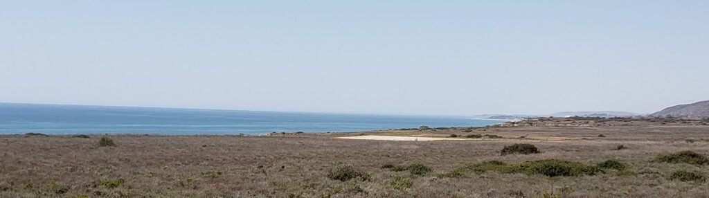
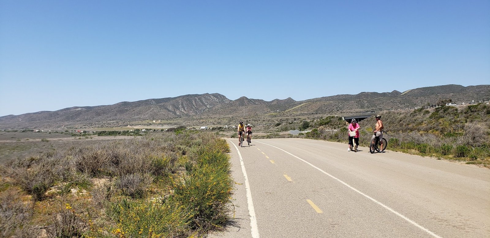
Continuing south I passed through San Onofre State Beach and on to a dedicated bike path with views of the ocean on one side and a freeway full of cars on the other side.
After that was Camp Pendleton MCAS (Marine Corps Air Station). If you plan to ride across the base, bring a driver’s license (I don’t know about passports), a helmet, and be sure to register on the base’s website about a week before you come. If you don’t, you may not be allowed on the base, and the only alternate route is on the shoulder of the freeway, though that is not as bad as it sounds.
South of the marine base is the city of Oceanside. While it is definitely faster to ride across Oceanside without riding “the strand” beach trail, I was riding in touring/sightseeing mode. My tendency is to put my head down and hammer. But I did that the last time I rode PCH and discovered afterwards I did not have the kind of experience I was looking for. So this was not only a gear shakedown ride: it was a shakedown of my attitude as well.
My destination was the Hike and Bike campsite at San Elijo State Beach. It is a great option for a last-minute overnighter. It is definitely urban camping though.
There are almost always other riders to share the campsite with, making it a great way to meet people. This trip was no exception. I met Trey, a local rider doing something similar to me, and Anna and Amondine (I nicknamed her Mandy) from Belgium. They were traveling the world via a network of host households that offered travelers short-term employment so they could earn the cash needed to continue long-term but frugal travel.
Trey, intrepid local traveler.
Amondine and Anna, Belgian world travelers.
I spent the evening sharing my extra food, wine and whiskey, learning about how to travel the world and speak French, stargazing and imagining people on other planets looking at us and our star millions of years ago.
San Elijo is a rare urban / beach camping locale but it is not without its cons. Train tracks parallel the beach and a few trains come through at night, sounding their very loud horn for an intersection right across from the campground. But I have learned to deal with it. I bring ear plugs. While I am at it, I bring eye shades for headlights from cars on the road. They have become staples I bring with me on all camping trips. You never know what kind of camp site you will end up with. And getting a good night’s sleep is one of the most important things for me when bike touring.
I am a bit of a morning person, so I woke up and watched the “dawn patrol” surfers in the area for a while.
Back at the campsite we said our good byes and shared well wishes with each other as we packed and went on our separate ways. Next on my agenda: seeking out my morning elixir.
The ride home was a rewind of the ride there, but with a mild headwind instead of a tailwind. I can pass a lot of things while riding, but a good Mexican meal is not one of them.
My bike, loaded for the ride and parked for lunch. It will not need much more than this for the big tour.
Overall the ride was a success. I am looking forward to a week on the road in May!